County Buildings, Mullingar
Map
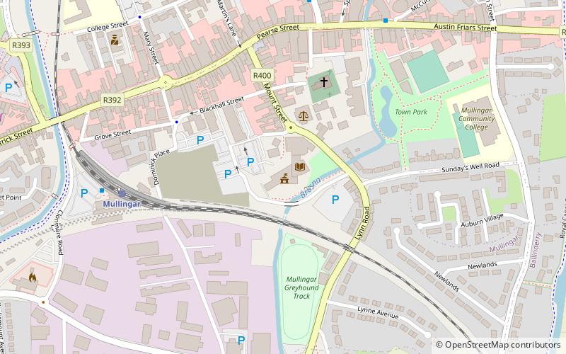
Map

Facts and practical information
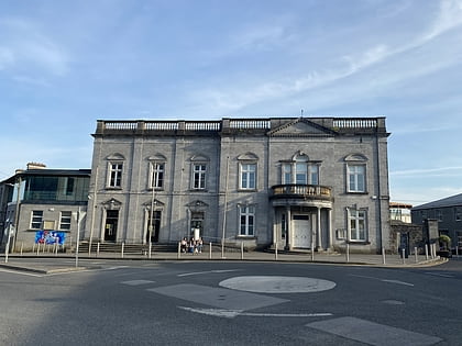
County Buildings is a municipal facility in Mullingar, County Westmeath, Ireland. ()
Coordinates: 53°31'24"N, 7°20'27"W
Address
Mullingar
ContactAdd
Social media
Add
Day trips
County Buildings – popular in the area (distance from the attraction)
Nearby attractions include: Mullingar Greyhound Stadium, Cathedral of Christ the King, Harbour Place Shopping Centre, Famine Memorial Fountain.
Frequently Asked Questions (FAQ)
Which popular attractions are close to County Buildings?
Nearby attractions include Mullingar Arts Centre, Mullingar (1 min walk), Mullingar Greyhound Stadium, Mullingar (4 min walk), Mullingar Town Park, Mullingar (4 min walk), Famine Memorial Fountain, Mullingar (5 min walk).
How to get to County Buildings by public transport?
The nearest stations to County Buildings:
Train
Bus
Train
- Mullingar (6 min walk)
Bus
- Mullingar • Lines: 115, 115C, 22, 23 (13 min walk)
- Mullingar Station • Lines: 115, 115C (6 min walk)
