Winetavern Street, Dublin
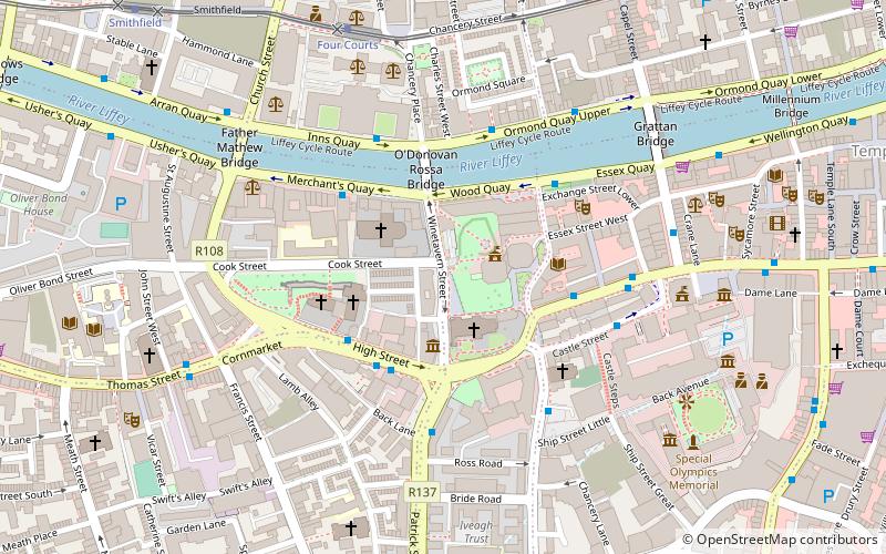
Map
Facts and practical information
Coordinates: 53°20'39"N, 6°16'19"W
Address
Southside (South-West Inner City)Dublin
ContactAdd
Social media
Add
Getting there by public transportation
Public transportation stops near this location
- Bus
- Tram
- Train
 Bus
Bus
- Calculate routeMerchant's Quay 3 min walk
- Calculate routeEssex Quay, Exchange Street 3 min walk
- Calculate routeFour Courts 4 min walk
- Calculate routeUpper Ormond Quay 4 min walk
- Calculate routeStop 9 min walk
- Calculate routeFour Courts 6 min walk
- Calculate routeSmithfield 9 min walk
- Calculate routeTara Street 20 min walk
- Calculate routeHeuston 24 min walk
- Calculate routeDublin Heuston 25 min walk
- Calculate routeDublin Pearse 25 min walk
Day trips
Winetavern Street – popular in the area (distance from the attraction)
Nearby attractions include: Dublin Castle, Christ Church Cathedral, The Brazen Head, Dublinia.


Frequently Asked Questions (FAQ)
Which popular attractions are close to Winetavern Street?
Nearby attractions include Christ Church Cathedral, Dublin (2 min walk), Dublinia, Dublin (2 min walk), Church of the Immaculate Conception, Dublin (2 min walk), St. Michael's Church, Dublin (2 min walk).
How to get to Winetavern Street by public transport?
The nearest stations to Winetavern Street:
Bus
Tram
Train
Bus
- Merchant's Quay • Lines: 145, 26, 37, 39, 39a, 69, 69x, 79, 79A (3 min walk)
- Essex Quay, Exchange Street • Lines: 145, 37, 39, 39a, 69, 69x, 79, 79A (3 min walk)
Tram
- Stop • Lines: Luas Red Line (9 min walk)
- Four Courts • Lines: Luas Red Line (6 min walk)
Train
- Tara Street (20 min walk)
- Heuston (24 min walk)