Rathbeale, Swords
Map

Map

Facts and practical information
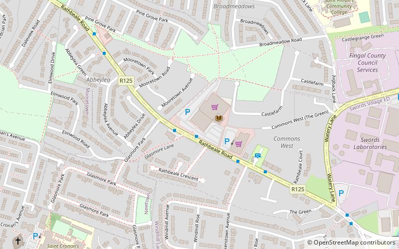
Rathbeale is a neighbourhood in the town of Swords in Ireland. It developed in west Swords along the Rathbeale Road, which runs from Swords to the townland of Rathbeal. It has been designed around the Rathbeale Road, which has shops, including two supermarkets, with housing estates on either side of the road. ()
Coordinates: 53°27'44"N, 6°13'48"W
Address
Swords
ContactAdd
Social media
Add
Day trips
Rathbeale – popular in the area (distance from the attraction)
Nearby attractions include: Swords Castle, Airside Retail Park, Brackenstown, Applewood.
Frequently Asked Questions (FAQ)
Which popular attractions are close to Rathbeale?
Nearby attractions include Swords Castle, Swords (12 min walk), Brackenstown, Swords (14 min walk), Applewood, Swords (16 min walk).


