Talbot Mall, Dublin
Map

Map

Facts and practical information
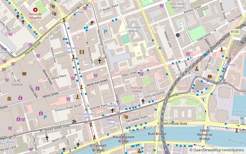
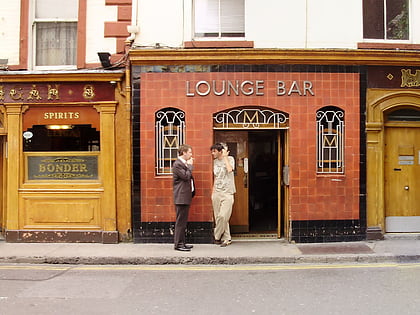
Talbot Mall is a small shopping arcade located between Talbot Street, Northumberland Square, and Abbey Street in Dublin, Ireland. Operating for some years with only a few trading units, it today primarily forms a public passage between Talbot and Abbey Streets. ()
Coordinates: 53°21'1"N, 6°15'26"W
Day trips
Talbot Mall – popular in the area (distance from the attraction)
Nearby attractions include: O'Connell Street, Henry Street, Spire of Dublin, Parnell Street.
Frequently Asked Questions (FAQ)
Which popular attractions are close to Talbot Mall?
Nearby attractions include North Earl Street, Dublin (2 min walk), Beresford Place, Dublin (2 min walk), St Mary's Pro-Cathedral, Dublin (3 min walk), Abbey Theatre, Dublin (3 min walk).
How to get to Talbot Mall by public transport?
The nearest stations to Talbot Mall:
Tram
Bus
Train
Tram
- Marlborough • Lines: Luas Green Line (2 min walk)
- Abbey Street • Lines: Luas Red Line (3 min walk)
Bus
- Abbey Street, National Lottery • Lines: 130 (3 min walk)
- Abbey Street, Irish Life Centre • Lines: H1, H3 (3 min walk)
Train
- Tara Street (7 min walk)
- Dublin Connolly (12 min walk)


