Royal Canal, Dublin
Map
Gallery
Facts and practical information
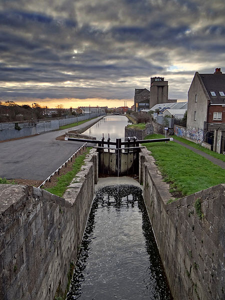
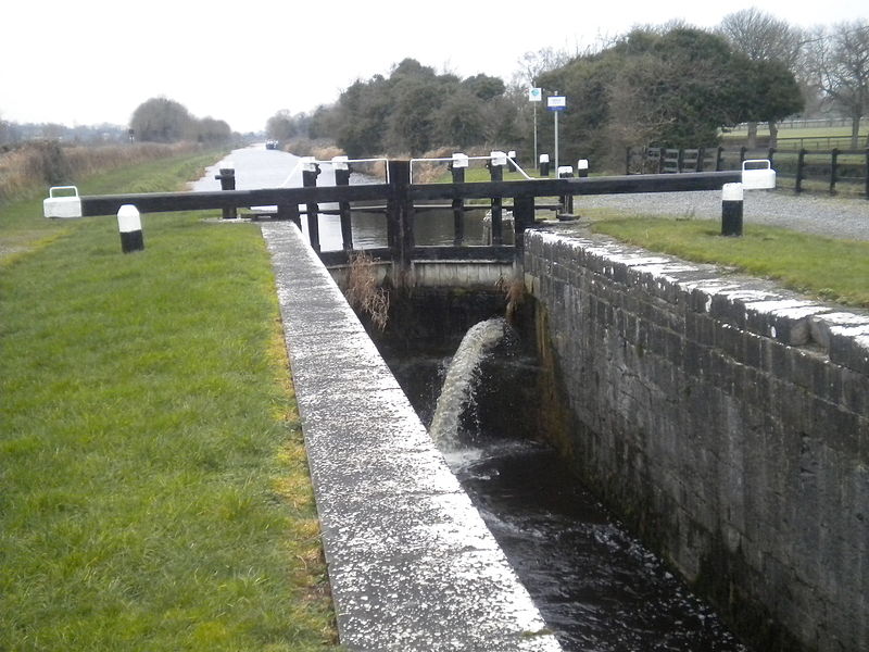
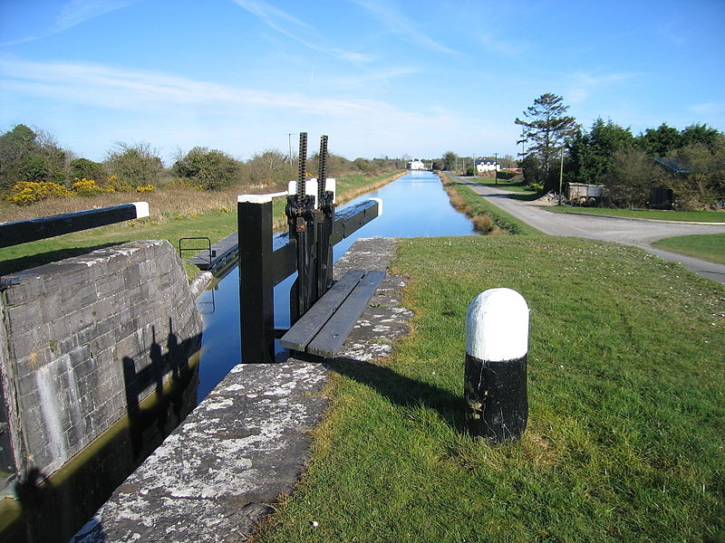
The Royal Canal is a canal originally built for freight and passenger transportation from Dublin to Longford in Ireland. It is one of two canals from Dublin to the River Shannon and was built in direct competition to the Grand Canal. The canal fell into disrepair in the late 20th century, but much of it has since been restored for navigation. The length of the canal to the River Shannon was reopened on 1 October 2010, but a final spur branch, to Longford Town, remains closed. ()
Address
Northside (North Inner City)Dublin
ContactAdd
Social media
Add
Day trips
Royal Canal – popular in the area (distance from the attraction)
Nearby attractions include: Talbot Street, EPIC The Irish Emigration Museum, Shelbourne Park, 3Arena.
Frequently Asked Questions (FAQ)
Which popular attractions are close to Royal Canal?
Nearby attractions include 3Arena, Dublin (7 min walk), Spencer Dock, Dublin (8 min walk), Convention Centre Dublin, Dublin (8 min walk), The Exo Building, Dublin (8 min walk).
How to get to Royal Canal by public transport?
The nearest stations to Royal Canal:
Bus
Tram
Train
Bus
- Church Road • Lines: 53 (4 min walk)
- North Wall Quay • Lines: Se1, Se2 (6 min walk)
Tram
- Spencer Dock • Lines: Luas Red Line (5 min walk)
- The Point • Lines: Luas Red Line (6 min walk)
Train
- Docklands (7 min walk)
- Dublin Connolly (16 min walk)


