Santry, Dublin

Gallery (1)
Map
Map
Facts and practical information
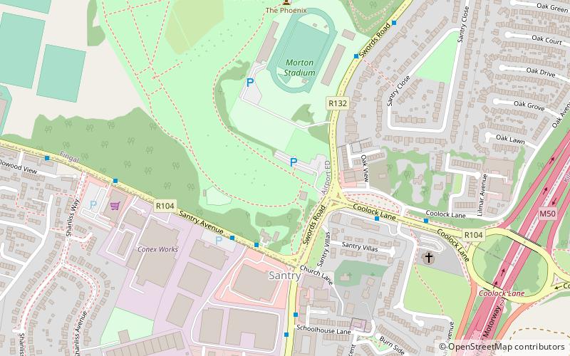
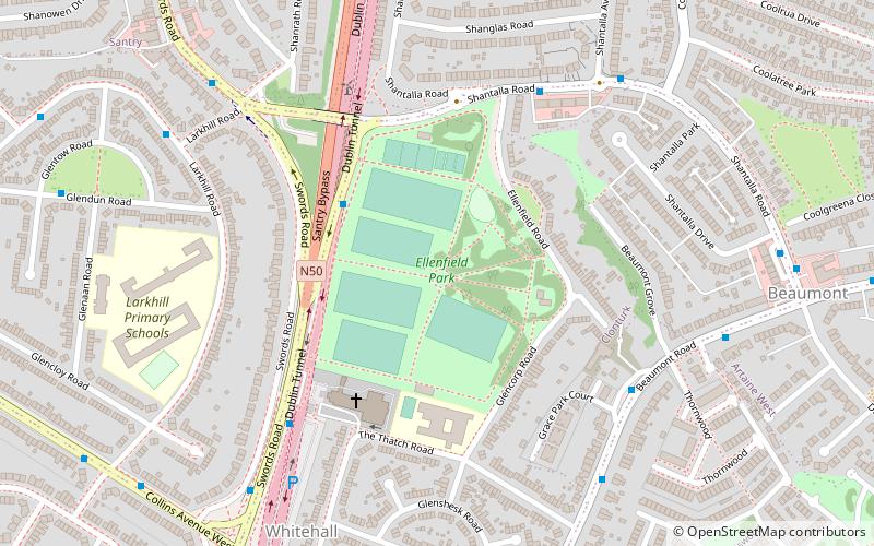
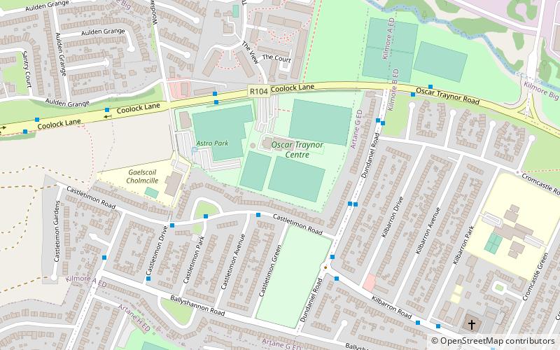
Santry is a suburb on the northside of Dublin, Ireland, bordering Coolock, Glasnevin, Kilmore and Ballymun. It straddles the boundary of Dublin City Council and Fingal County Council jurisdictions. ()
Address
Dublin
ContactAdd
Social media
Add
Getting there by public transportation
Public transportation stops near this location
- Bus
 Bus
Bus
- Calculate routeSantry Avenue Industrial Estate 3 min walk
- Calculate routeCoolock Lane 4 min walk
- Calculate route#1639 Swords Road, Schoolhouse Lane 5 min walk
Day trips


Frequently Asked Questions (FAQ)
How to get to Santry by public transport?
The nearest stations to Santry:
Bus
Bus
- Santry Avenue Industrial Estate • Lines: 17A (3 min walk)
- Coolock Lane • Lines: 17A (4 min walk)