Rujum en-Nabi Shu'ayb
Map
Gallery
Facts and practical information
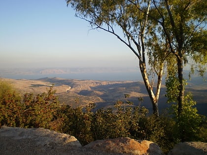
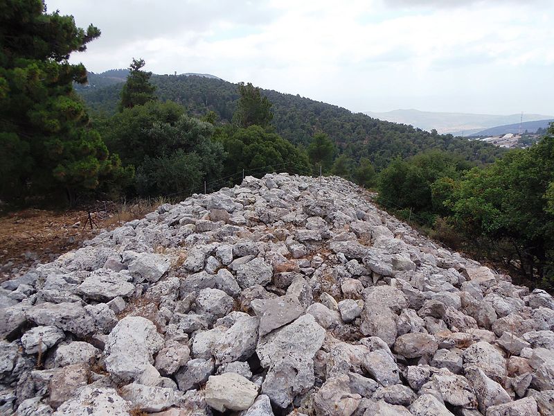
Rujum en-Nabi Shu'ayb or Jethro's Cairn is an ancient megalithic monument, consisting of a crescent shaped heap of field stones, located some 15 kilometers from the Sea of Galilee on a fairly inaccessible hillside below Parod in Northern Israel. It has been measured as 14,000 cubic meters in volume and about 150 meters long, making it visible from satellite photos. Bronze Age pottery excavated at the site dates the construction to between 3050 BCE and 2650 BCE, which would place it before Egypt's pyramids. ()
Coordinates: 32°56'23"N, 35°25'35"E
Location
HaZafon
ContactAdd
Social media
Add
Day trips
Rujum en-Nabi Shu'ayb – popular in the area (distance from the attraction)
Nearby attractions include: Mount Meron, Birya Fortress, Peki'in Synagogue, Abuhav synagogue.


