Hurfeish, Upper Galilee
#6 among attractions in Upper Galilee
Facts and practical information
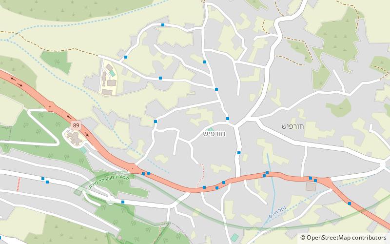
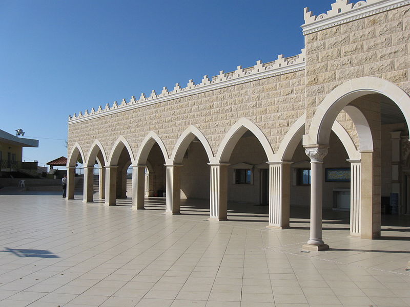
Hurfeish is a Druze town in the Northern District of Israel. In 2019 it had a population of 6,410. ()
Upper Galilee Israel
Hurfeish – popular in the area (distance from the attraction)
Nearby attractions include: Mount Meron, Tefen Open Museum, Peki'in Synagogue, Bar'am National Park.
 Nature, Natural attraction, Lookout
Mount Meron, Upper Galilee
106 min walk • Mount Meron is a mountain in the Upper Galilee region of Israel. It has special significance in Jewish religious tradition and parts of it have been declared a nature reserve.
 Museum
Tefen Open Museum, Upper Galilee
127 min walk • The German-Speaking Jewry Heritage Museum is a museum in Tefen, an industrial park in the north of Israel established by Stef Wertheimer.
 Synagogue
Peki'in Synagogue
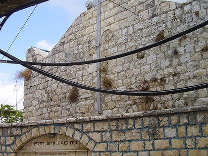
73 min walk • The Peki’in Synagogue, is a synagogue located in the centre of Peki'in, Northern Israel. The current building was erected in 1873, on the site of older ones.
 Synagogue
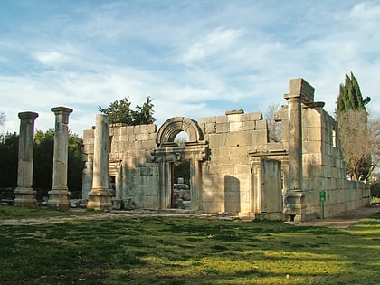
Bar'am National Park
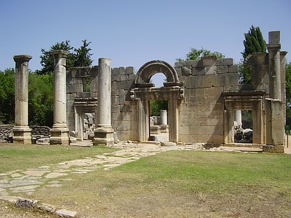
111 min walk • Bar'am National Park is a national park in Israel, between kibbutz Sasa and moshav Dovev, near the Lebanese border. On the grounds of the park is a synagogue from the Talmudic period.
 Archaeological site
Kafr Bir'im
115 min walk • Kafr Bir'im, also Kefr Berem, was a former village in Mandatory Palestine, located in modern-day northern Israel, 4 kilometers south of the Lebanese border and 11.5 kilometers northwest of Safed. The village was situated 750 meters above sea level.
 Nature, Natural attraction, Cave
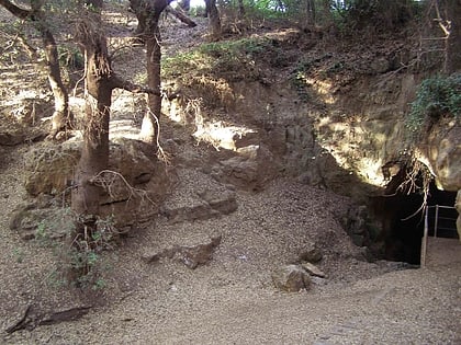
Pa'ar Cave
64 min walk • Pa'ar Cave is a karstic sinkhole in the Upper Galilee, Israel.
 Town, Forts and castles
Mi'ilya
129 min walk • Mi'ilya is an Arab local council in the western Galilee in the Northern District of Israel. Its name during the Kingdom of Jerusalem era in Galilee was Castellum Regis. In 2019 it had a population of 3,244, all of whom are Melkite Greek Catholics. The town is located immediately to the northwest of Ma'alot-Tarshiha.
 Prehistoric site
Rujum en-Nabi Shu'ayb
182 min walk • Rujum en-Nabi Shu'ayb or Jethro's Cairn is an ancient megalithic monument, consisting of a crescent shaped heap of field stones, located some 15 kilometers from the Sea of Galilee on a fairly inaccessible hillside below Parod in Northern Israel.
 Town
TownPeki'in
68 min walk • Peki'in or Buqei'a, is a Druze/Arab town with local council status in Israel's Northern District. It is located eight kilometres east of Ma'alot-Tarshiha in the Upper Galilee. In 2019 it had a population of 5,893.
 City
CityMa'alot-Tarshiha
99 min walk • Ma'alot-Tarshiha is a city in the North District in Israel, some 20 kilometres east of Nahariya, about 600 metres above sea level. The city was established in 1963 through a municipal merger of the Arab town of Tarshiha and the Jewish town of Ma'alot. In 2019, the city had a population of 21,836.
 Nature, Natural attraction, Mountain
Har HaAri
115 min walk • Har HaAri is a mountain in the Upper Galilee in northern Israel.
