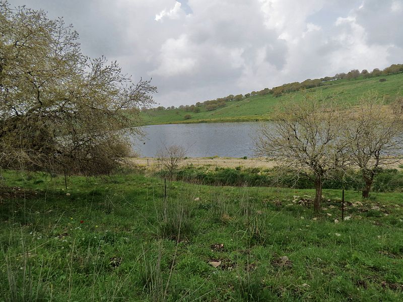
Manasseh Hills

Gallery (3)
Map
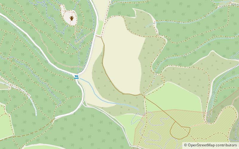
Map
Gallery
Facts and practical information
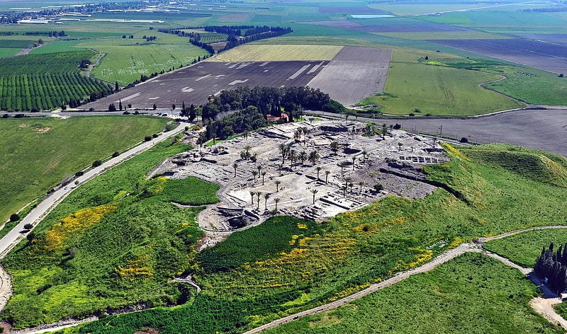
The Manasseh Hills or hill country of Manasseh, directly derived from Hebrew: Menashe Heights, called Balad ar-Ruha in Arabic, meaning "Land of Winds", is a geographical region in northern Israel, located on the Carmel Range, between Mount Carmel and Mount Amir/Umm al-Fahm. ()
Location
HaZafon
ContactAdd
Social media
Add
Day trips