Jo'ara

Gallery (1)
Map
Map
Facts and practical information
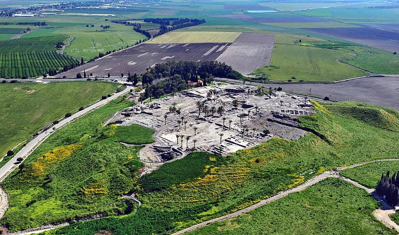
Jo'ara is a hill in the Menashe Heights. A small Palestinian Arab village existed on the hill until the 1930s. Between 1938-48, it became the main military school for commanding officers of the Haganah and Palmach. After the establishment of Israel, the hill was used as a military base and officers school, and between 1970-2016 by the Youth Battalions' pre-military programme. The base and its museum were closed down in 2016-2017. ()
Location
HaZafon
ContactAdd
Social media
Add
Day trips