Tel Jezreel

Gallery (1)
Map
Map
Facts and practical information
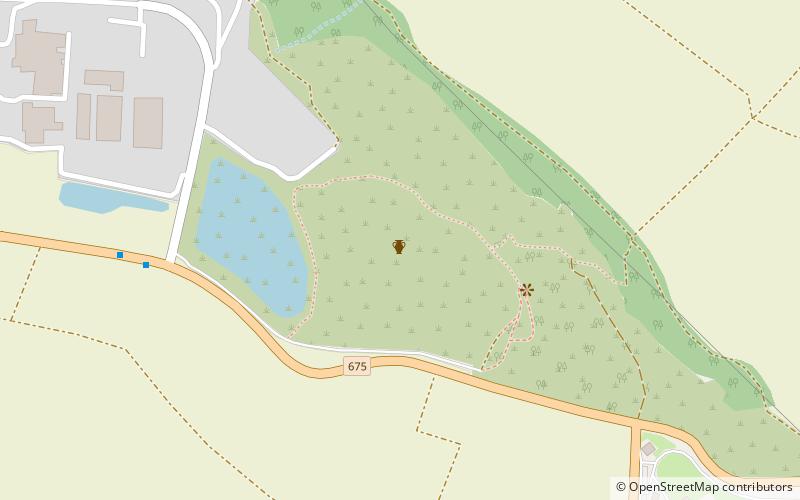
Tel Jezreel is an archaeological site in the eastern Jezreel Valley in northern Israel. The city of Jezreel served as a main fortress of the Kingdom of Israel under king Ahab in the 9th century BCE. ()
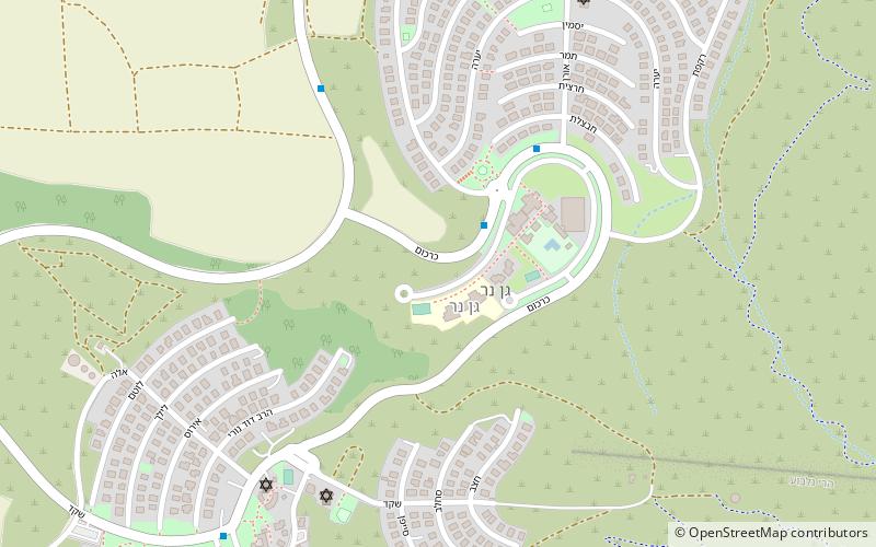
Local name: תל יזרעאלCoordinates: 32°33'27"N, 35°19'42"E
Location
HaZafon
ContactAdd
Social media
Add
Day trips