Tel Gerisa, Tel Aviv
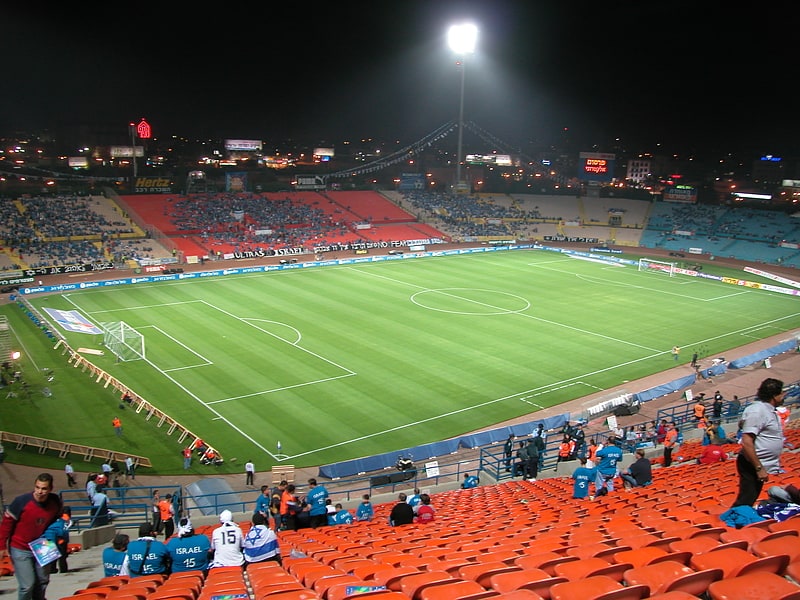
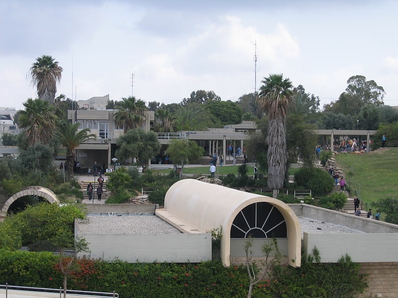
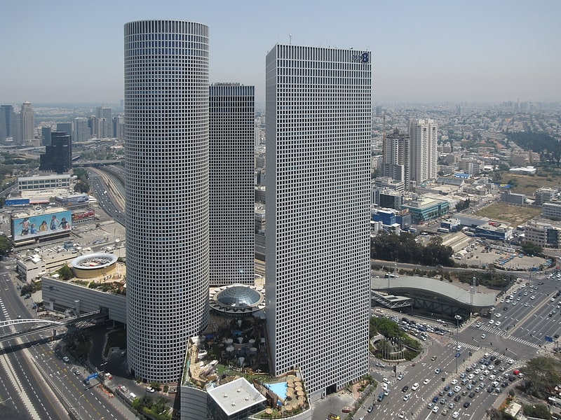
Gallery (3)
Map
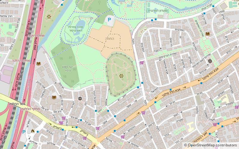
Map
Gallery
Facts and practical information
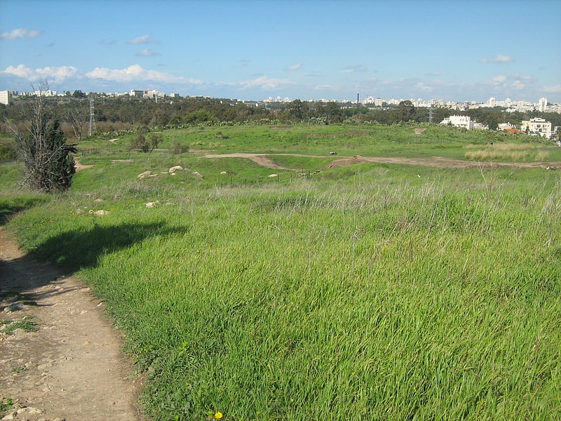
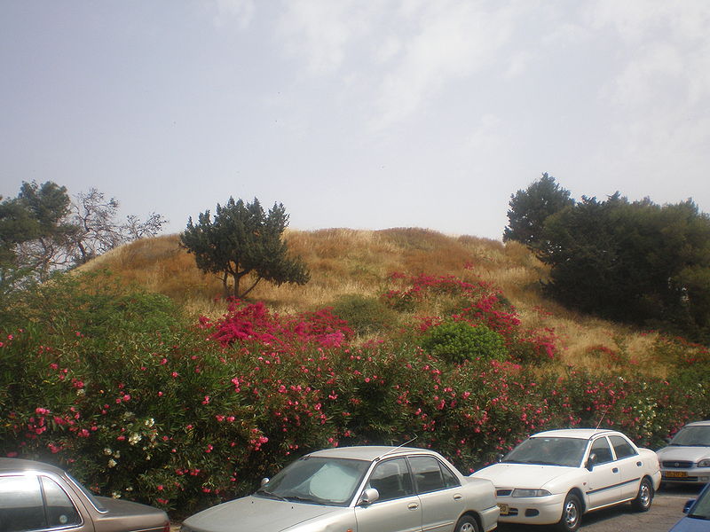
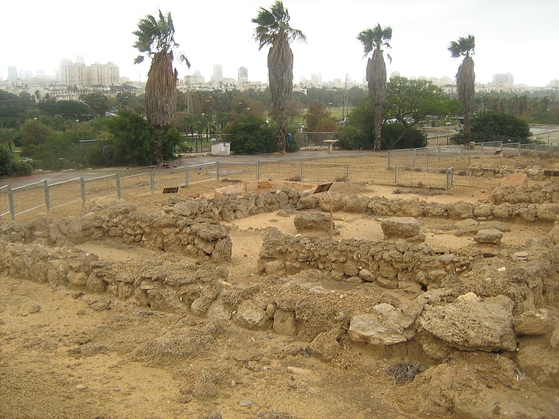
Tel Gerisa or Tell Jerishe and Tell Jarisha, commonly known as Tel Napoleon or Napoleon's Hill, is an archaeological site on the southern bank of the Yarkon River in Israel. The main phases of the city are dated to the Middle and Late Bronze Ages, with a smaller settlement in Iron Age I and going into decline in Iron Age II. ()
Local name: תל נפוליאוןCoordinates: 32°5'30"N, 34°48'28"E
Address
rokach st.בבלי (bbly)Tel Aviv
ContactAdd
Social media
Add
Getting there by public transportation
Public transportation stops near this location
- Bus
- Train
 Bus
Bus
- Calculate routeTel Aviv Savidor Center 20 min walk
- Calculate routeTel Aviv University 22 min walk
- Calculate routenamir jabotinstky 23 min walk
- Calculate routeTerminal 2000 24 min walk
- Calculate routeUniversity Train Station Bus Terminus 24 min walk
- Calculate routeAyalon Mall Bus Terminal 30 min walk
Day trips


Frequently Asked Questions (FAQ)
Which popular attractions are close to Tel Gerisa?
Nearby attractions include Diamond Exchange District, Tel Aviv (15 min walk), Yarkon Park, Tel Aviv (15 min walk), Bavli, Tel Aviv (15 min walk), Giv'at Amal Bet, Tel Aviv (16 min walk).
How to get to Tel Gerisa by public transport?
The nearest stations to Tel Gerisa:
Train
Bus
Train
- Tel Aviv Savidor Center (20 min walk)
- Tel Aviv University (22 min walk)
Bus
- namir jabotinstky (23 min walk)
- Terminal 2000 (24 min walk)