Yarkon River, Tel Aviv
Map
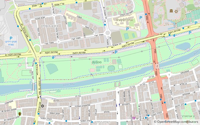
Map

Facts and practical information
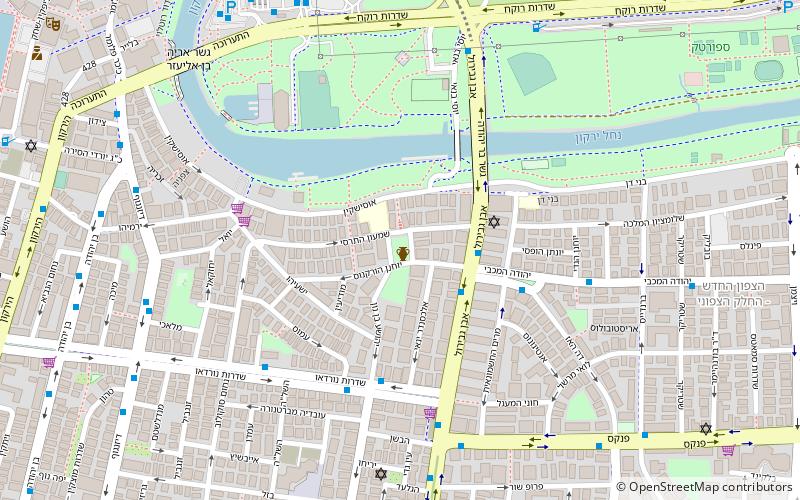
The Yarkon River, also Yarqon River or Jarkon River, is a river in central Israel. The source of the Yarkon is at Tel Afek, north of Petah Tikva. It flows west through Gush Dan and Tel Aviv's Yarkon Park into the Mediterranean Sea. Its Arabic name, al-Auja, means "the meandering". The Yarkon is the largest coastal river in Israel, at 27.5 km in length. ()
Address
תהנה רדינג - ארץ מועדון (thnh rdyng - rz mwdwn)Tel Aviv
ContactAdd
Social media
Add
Day trips
Yarkon River – popular in the area (distance from the attraction)
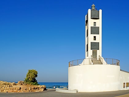
Nearby attractions include: Dizengoff Street, Ramat Aviv Mall, Tel Aviv Port, Ben Yehuda Street.
Frequently Asked Questions (FAQ)
Which popular attractions are close to Yarkon River?
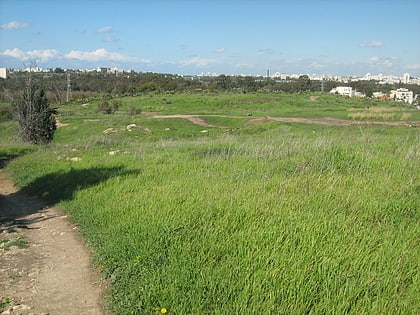
Nearby attractions include Sportek, Tel Aviv (1 min walk), Kokhav HaTzafon, Tel Aviv (7 min walk), Yehuda HaMaccabi, Tel Aviv (8 min walk), Tell Qasile, Tel Aviv (12 min walk).
How to get to Yarkon River by public transport?
The nearest stations to Yarkon River:
Bus
Train
Bus
- Reading Terminal (15 min walk)
- namir jabotinstky (25 min walk)
Train
- Tel Aviv University (26 min walk)
- Tel Aviv Savidor Center (29 min walk)


