Tomb of the Prophets, Jerusalem
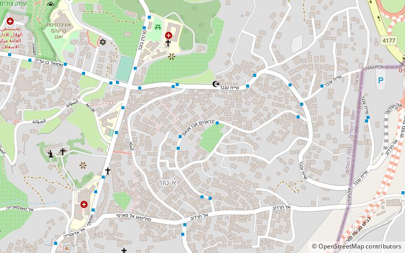
Map
Facts and practical information
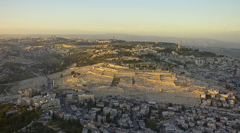
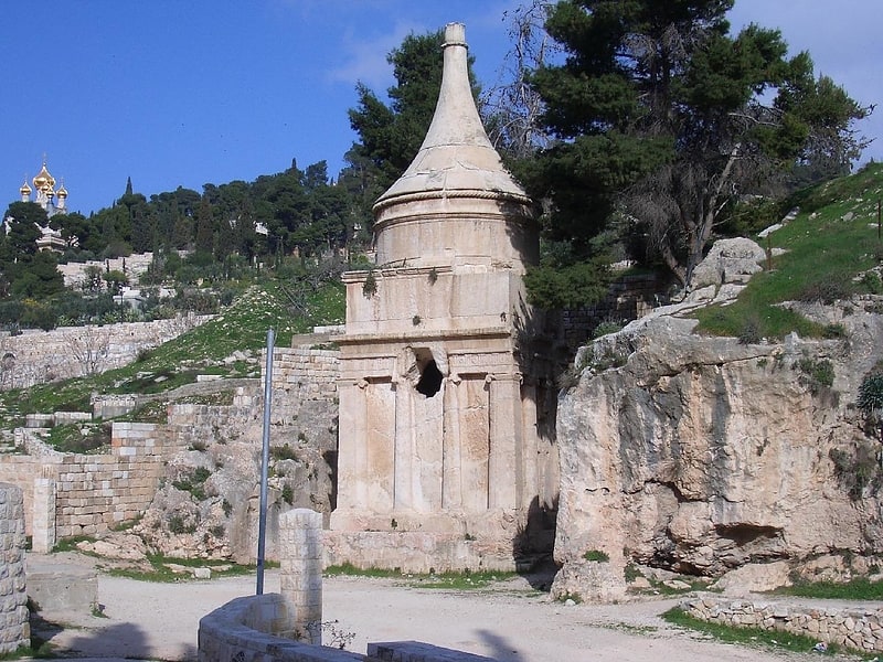
The Tomb of the Prophets Haggai, Zechariah and Malachi is an ancient burial site located on the upper western slope of the Mount of Olives, Jerusalem. According to a medieval Jewish tradition also adopted by Christians, the catacomb is believed to be the burial place of Haggai, Zechariah and Malachi, the last three Hebrew Bible prophets who are believed to have lived during the 6th-5th centuries BC. Archaeologists have dated the three earliest burial chambers to the 1st century BC, thus contradicting the tradition. ()
Address
א-טור (-twr)Jerusalem
ContactAdd
Social media
Add
Getting there by public transportation
Public transportation stops near this location
- Bus
 Bus
Bus
- Calculate routeTo go to jordan 30 min walk
Day trips
Frequently Asked Questions (FAQ)
Which popular attractions are close to Tomb of the Prophets?
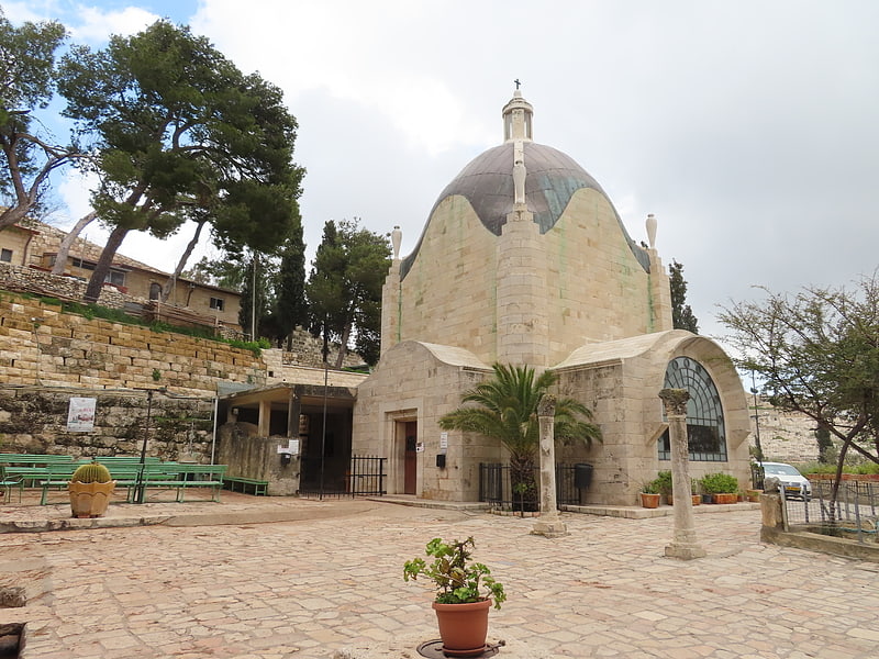
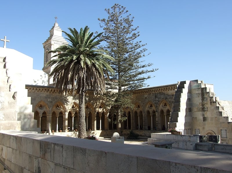
Nearby attractions include Augusta Victoria Hospital, Jerusalem (6 min walk), Beit Orot, Jerusalem (8 min walk), Viri Galilaei Church, Jerusalem (9 min walk), Church of Bethphage, Jerusalem (11 min walk).
How to get to Tomb of the Prophets by public transport?
The nearest stations to Tomb of the Prophets:
Bus
Bus
- To go to jordan (30 min walk)