Kfar Vradim

Facts and practical information
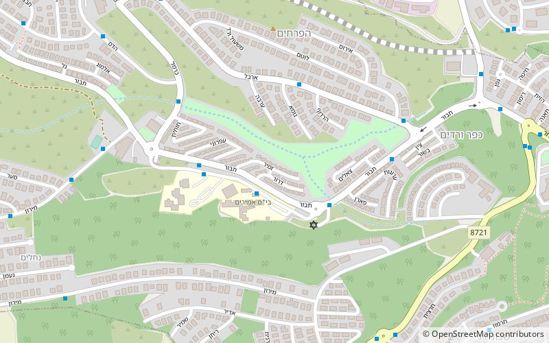
Nestled in the picturesque HaZafon region of Israel, Kfar Vradim is a charming town that offers a unique blend of natural beauty and cultural attractions. Surrounded by lush green hills and breathtaking landscapes, this tranquil destination is perfect for travelers seeking a peaceful retreat away from the hustle and bustle of city life.
One of the highlights of Kfar Vradim is its stunning botanical garden, which showcases a diverse array of plant species from around the world. Visitors can wander through the garden's winding paths, taking in the vibrant colors and fragrant scents of the flora. The garden also features a peaceful pond and several tranquil seating areas, making it the perfect spot for a leisurely afternoon stroll or a relaxing picnic.
For those interested in history and culture, Kfar Vradim is home to several captivating museums and art galleries. The town's museum offers a fascinating glimpse into the area's rich heritage, with exhibits that explore the region's agricultural roots and traditional crafts. Art enthusiasts will also appreciate the numerous galleries showcasing the work of local and international artists, providing a unique opportunity to immerse oneself in the vibrant creative scene of the region.
In addition to its natural and cultural attractions, Kfar Vradim is also known for its welcoming community and vibrant culinary scene. Visitors can sample delicious local cuisine at one of the town's cozy cafes or family-owned restaurants, savoring traditional dishes made with fresh, locally sourced ingredients.
HaZafon