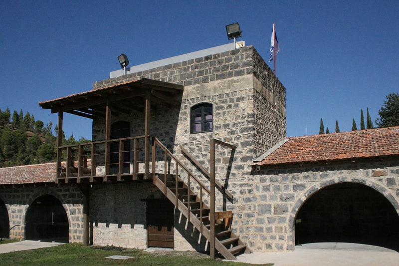
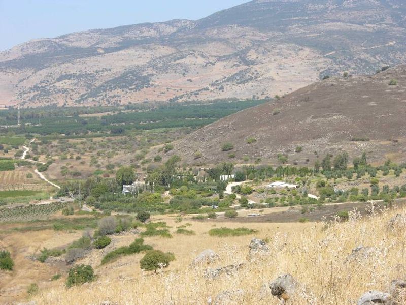
Tel Azaziat

Gallery (3)
Map
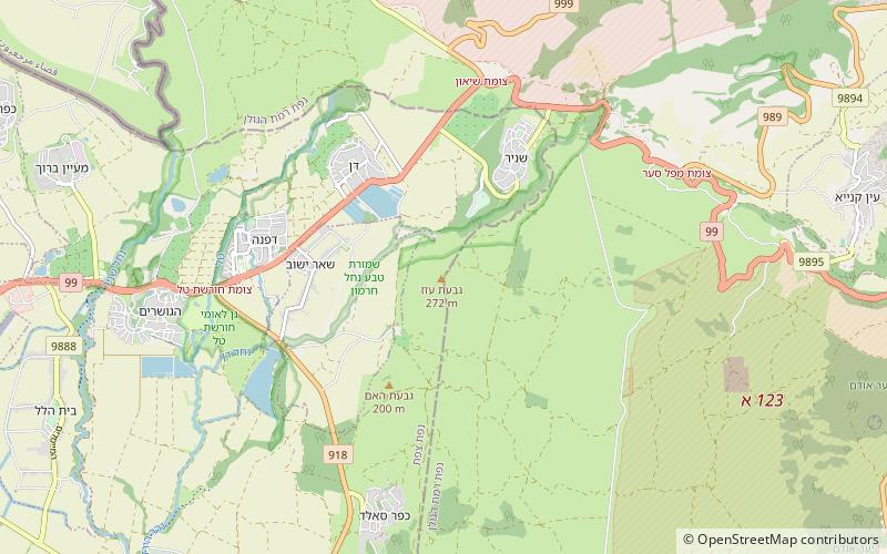
Map
Gallery
Facts and practical information
Tel Azaziat is a hill in the foothills of the Golan Heights in northern Israel, 330 m above sea level, 1.5 km east of moshav She'ar Yashuv, 1.5 km south east of kibbutz Dan and 2 km west of Tel Faher. The basalt hill was a Syrian military outpost built within the DMZ, used to shell the Israeli villages below. It has views of eastern Hula Valley. ()
Coordinates: 33°13'32"N, 35°40'1"E
Location
HaZafon
ContactAdd
Social media
Add
Day trips