Har Senaim
Map

Map

Facts and practical information
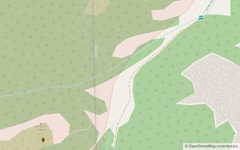
Har Senaim or Senaim, is an archaeological site that sits on a peak near Mount Hermon in the Israeli-occupied portion of the Golan Heights, 15 kilometres north east of Kiryat Shmona and 4 kilometres from Banias. ()
Local name: הר סנאיםCoordinates: 33°16'30"N, 35°43'40"E
Location
Golan
ContactAdd
Social media
Add
Day trips
Har Senaim – popular in the area (distance from the attraction)
Nearby attractions include: Dan Ancient City, Lake Ram, Givat HaEm, Omrit.


