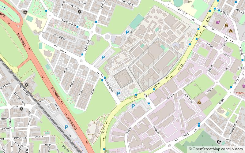
Ramla Municipal Stadium, Ramla
Map
Facts and practical information
Ramla Municipal Stadium, officially known as Toto Stadium Ramla, is a football stadium in Ramla, Israel. It is currently the home stadium of Beitar Tel Aviv Ramla and of the U-19 team of Maccabi Tel Aviv. ()
Capacity: 2000Coordinates: 31°55'29"N, 34°51'59"E
Address
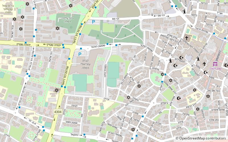
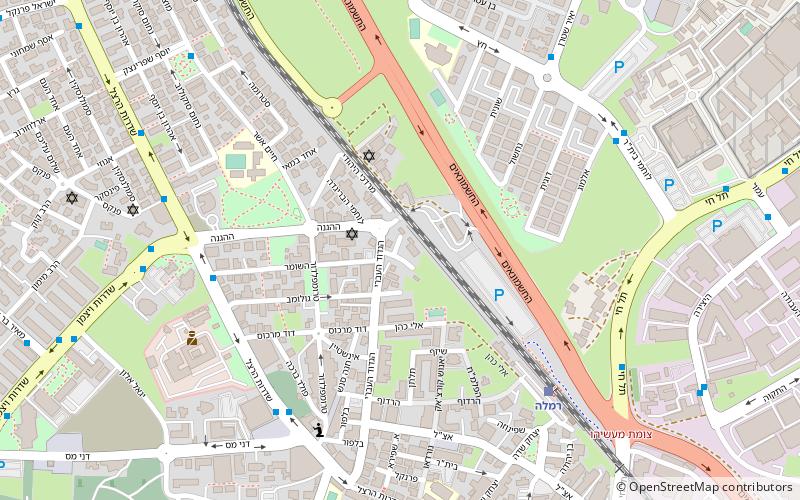
Ramla
ContactAdd
Social media
Add
Day trips
Ramla Municipal Stadium – popular in the area (distance from the attraction)
Nearby attractions include: British military cemetery, St. Nicodemus and St. Joseph of Arimathea Church, White Mosque, Ramla Subdistrict.


Frequently Asked Questions (FAQ)
Which popular attractions are close to Ramla Municipal Stadium?
Nearby attractions include White Mosque, Ramla (6 min walk), St. Nicodemus and St. Joseph of Arimathea Church, Ramla (9 min walk), Ramla Subdistrict, Ramla (17 min walk).