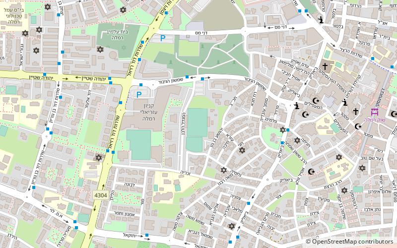
Ramla Subdistrict, Ramla
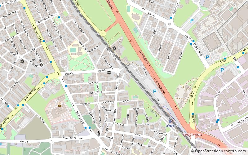
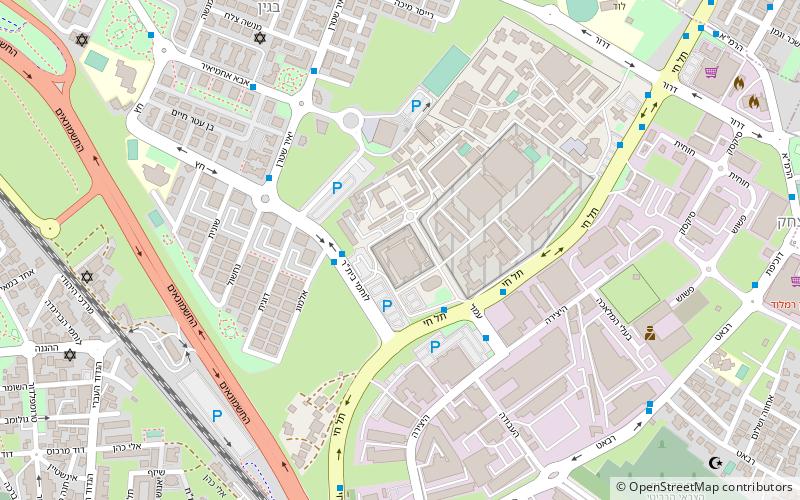
Map
Facts and practical information
The Ramla subdistrict is one of Israel's subdistricts in Central District. The district is composed of mostly of the Eastern half of Mandatory Ramle Subdistrict. ()
Area: 130.89 mi²Coordinates: 31°55'54"N, 34°52'25"E
Address
Ramla
ContactAdd
Social media
Add
Day trips
Ramla Subdistrict – popular in the area (distance from the attraction)
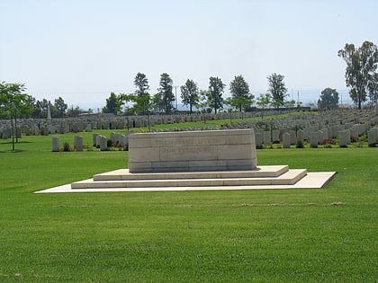
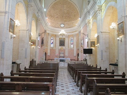
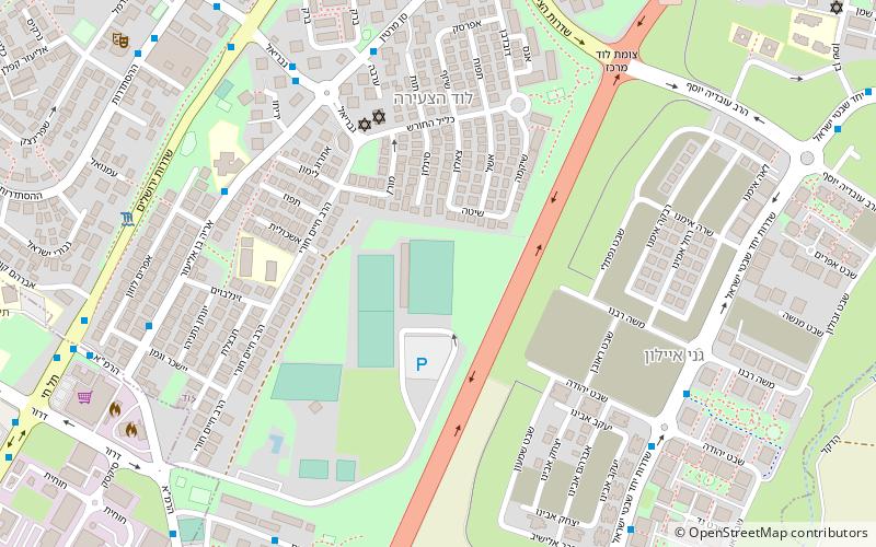
Nearby attractions include: British military cemetery, St. Nicodemus and St. Joseph of Arimathea Church, White Mosque, Neve Tirtza Women's Prison.
Frequently Asked Questions (FAQ)
Which popular attractions are close to Ramla Subdistrict?
Nearby attractions include St. Nicodemus and St. Joseph of Arimathea Church, Ramla (10 min walk), Neve Tirtza Women's Prison, Ramla (10 min walk), White Mosque, Ramla (14 min walk), British military cemetery, Ramla (19 min walk).
