Hatula

Map
Facts and practical information
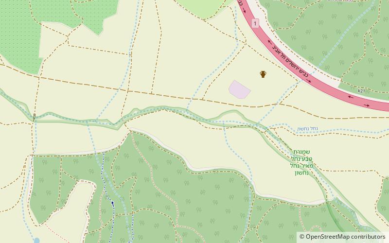
Hatula is an early Neolithic archeological site in the Judean hills south of Latrun, beside Nahshon Stream, in Israel, 20 kilometres west of Jerusalem. The site is 15 metres above the riverbed on a rocky slope in an alluvial valley. Excavations revealed three levels of occupation in the Natufian, Khiamian and PPNA. ()
Coordinates: 31°49'32"N, 34°59'15"E
Location
West Bank
ContactAdd
Social media
Add
Day trips
Hatula – popular in the area (distance from the attraction)
Nearby attractions include: Yad La-Shiryon, Mini Israel, Emmaus Nicopolis, Latrun.


