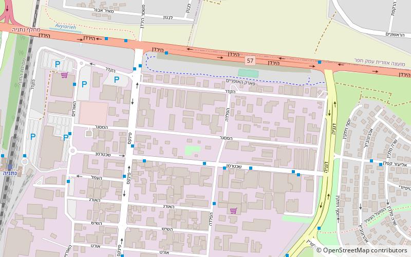
Kiryat Eliezer Kaplan Industrial Zone, Netanya

Map
Facts and practical information
Kiryat Eliezer Kaplan is a neighborhood in Netanya, Israel. It is named for the first Minister of Finance of Israel, Eliezer Kaplan. (Under the jurisdiction of the Municipality of Netanya, it became an industrial zone. Now it is primarily referred to as the old industrial zone of Netanya after the creation of Kiryat Sapir just a stone's throw away. ()
Elevation: 72 ft a.s.l.Coordinates: 32°19'17"N, 34°52'39"E
Address
Netanya
ContactAdd
Social media
Add
Day trips
Kiryat Eliezer Kaplan Industrial Zone – popular in the area (distance from the attraction)
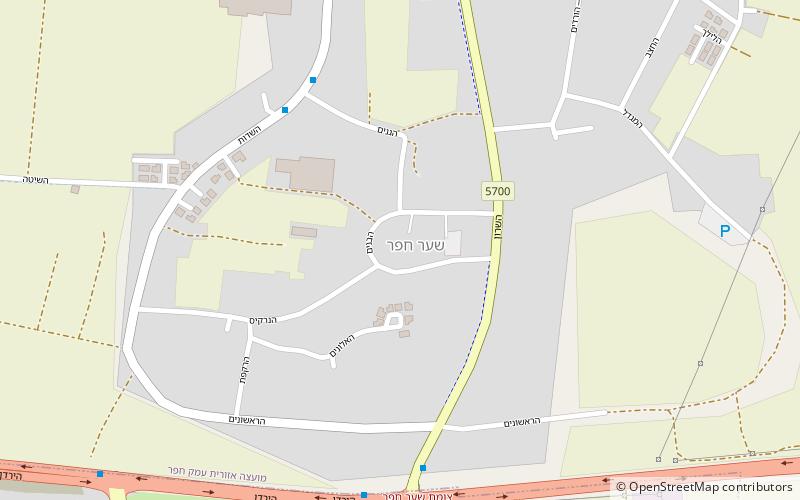
Nearby attractions include: Beit Yitzhak-Sha'ar Hefer, Netanya Academic College, Sar-Tov Stadium, Yeshurun Hall.
Frequently Asked Questions (FAQ)
How to get to Kiryat Eliezer Kaplan Industrial Zone by public transport?
The nearest stations to Kiryat Eliezer Kaplan Industrial Zone:
Train
Bus
Train
- Netanya (13 min walk)
Bus
- Netanya Central Bus Station (30 min walk)


