Givat HaMivtar, Jerusalem
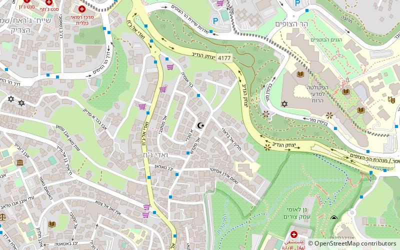
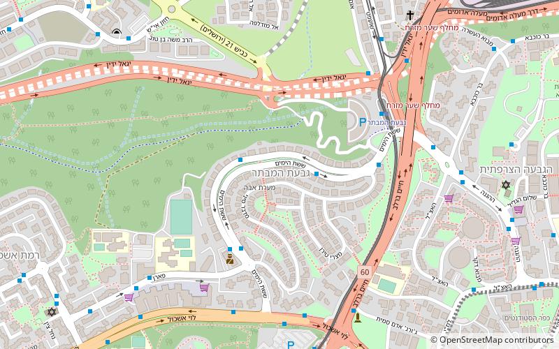
Map
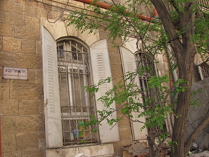
Gallery
Facts and practical information
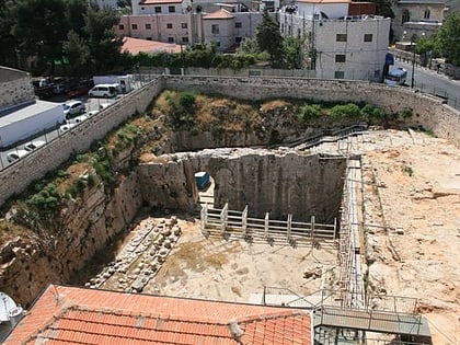
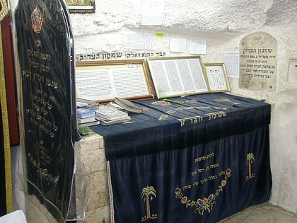
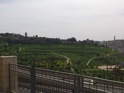
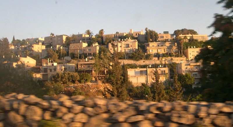
Givat HaMivtar is an Israeli settlement and a neighborhood in East Jerusalem established in 1970 between Ramat Eshkol and French Hill. It is located on a hill where an important battle took place in the Six Day War. Archaeological excavations have revealed important ancient Jewish tombs in the region. Givat Hamivtar was one of the first "Build Your Own Home" neighborhoods in Jerusalem. ()
Address
גבעת המִבְתָּר (gbt hmibetar)Jerusalem
ContactAdd
Social media
Add
Day trips
Givat HaMivtar – popular in the area (distance from the attraction)
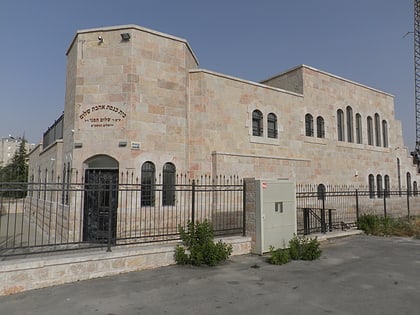
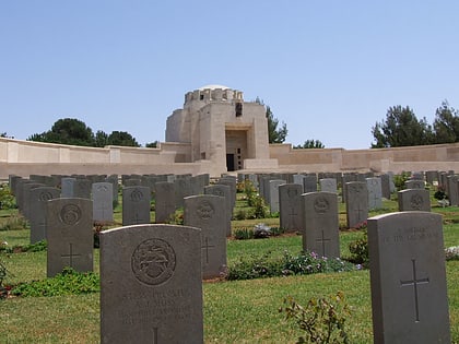
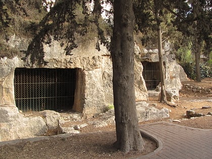
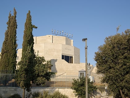
Nearby attractions include: Jerusalem British War Cemetery, Tombs of the Sanhedrin, Hecht Synagogue, Tombs of the Kings.
Frequently Asked Questions (FAQ)
Which popular attractions are close to Givat HaMivtar?
Nearby attractions include French Hill, Jerusalem (11 min walk), Kiryat Menachem Begin, Jerusalem (12 min walk), Ramat Eshkol, Jerusalem (13 min walk), Sheikh Jarrah, Jerusalem (17 min walk).
How to get to Givat HaMivtar by public transport?
The nearest stations to Givat HaMivtar:
Bus
Bus
- Shufat Refugee Camp Bus Station (26 min walk)
- מסוף הר חוצבים (29 min walk)
