Moroccan Quarter, Jerusalem
Map
Facts and practical information
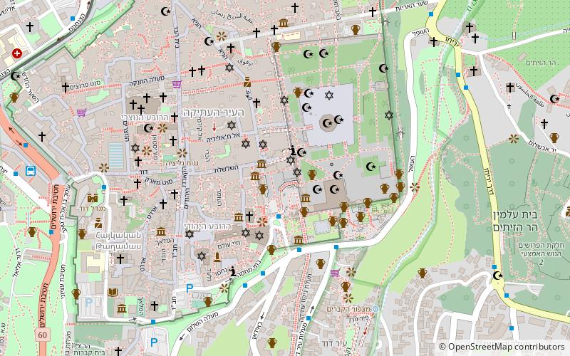
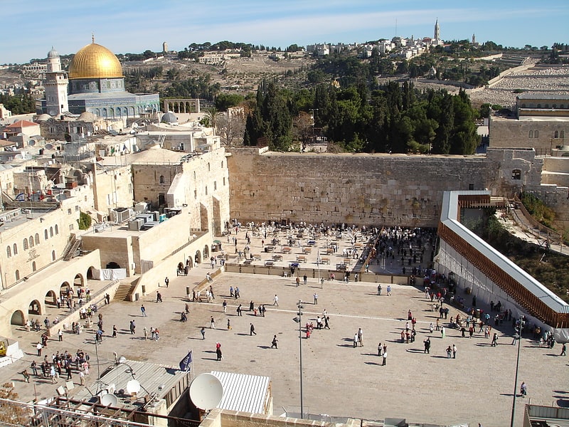
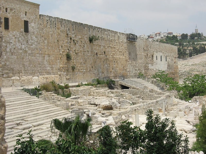
The Mughrabi Quarter, also referred to as Moroccan Quarter was a neighbourhood in the southeast corner of the Old City of Jerusalem, established in the late 12th century. It bordered the western wall of the Temple Mount on the east, the Old City walls on the south and the Jewish Quarter to the west. It was an extension of the Muslim Quarter to the north, and was founded as an endowed Islamic waqf or religious property by a son of Saladin. ()
Address
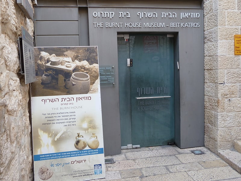
הרובע היהודי (hrwb hyhwdy)Jerusalem
ContactAdd
Social media
Add
Getting there by public transportation
Public transportation stops near this location
- Bus
 Bus
Bus
- Calculate routeHativat Yerushalayim/Yitshak Kariv 11 min walk
- Calculate routeJaffa Gate 12 min walk
- Calculate routeYaffo Gate/Yafo 12 min walk
- Calculate routeHaNevi'im Terminal 13 min walk
Day trips


Frequently Asked Questions (FAQ)
Which popular attractions are close to Moroccan Quarter?
Nearby attractions include Mughrabi Bridge, Jerusalem (1 min walk), Tyropoeon Valley, Jerusalem (1 min walk), Western Wall Plaza, Jerusalem (1 min walk), Wilson's Arch, Jerusalem (1 min walk).
How to get to Moroccan Quarter by public transport?
The nearest stations to Moroccan Quarter:
Bus
Bus
- Hativat Yerushalayim/Yitshak Kariv • Lines: 231 (11 min walk)
- Jaffa Gate (12 min walk)