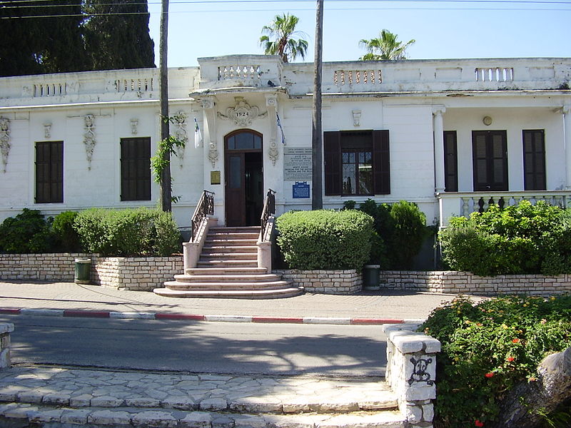
Gedera
Map
![Gedera location map](https://tzmedia.b-cdn.net/media/images/static-maps/il/31_8153_34_77396.jpg)
Gallery
![Gedera](https://tzmedia.b-cdn.net/media/images/il/place/gallery/medium/5f15cc722df4e83ba631ff0efcff7013.jpg)
Facts and practical information
Gedera, or less commonly known as Gdera, is a town in the southern part of the Shfela region in the Central District of Israel founded in 1884. It is 13 kilometres south of Rehovot. In 2019, it had a population of 28,313. ()
Day trips
Gedera – popular in the area (distance from the attraction)
Nearby attractions include: Ekron, Mausoleum of Abu Huraira, Kiryat Ekron, Yibna Bridge.