Kiryat Ekron, Rehovot
Map
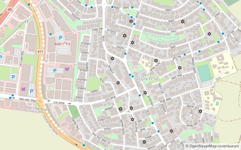
Map

Facts and practical information
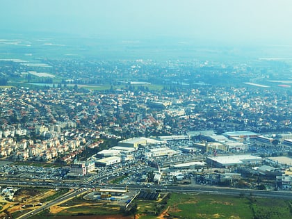
Kiryat Ekron or Qiryath Eqron is a town located on the coastal plain in the Central District of Israel. Located immediately south of the city of Rehovot on Highway 411 next to the Bilu Junction, in 2019 it had a population of 11,001. ()
Local name: קריית עקרון Founded: 1948 (78 years ago)Area: 0.89 mi²Coordinates: 31°51'40"N, 34°49'17"E
Address
Rehovot
ContactAdd
Social media
Add
Day trips
Kiryat Ekron – popular in the area (distance from the attraction)
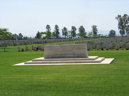
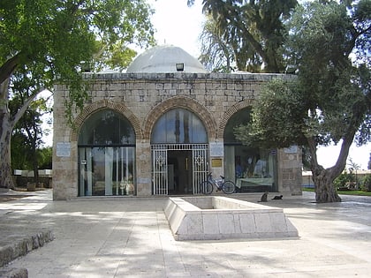
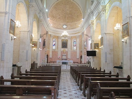
Nearby attractions include: British military cemetery, Timnah, Mausoleum of Abu Huraira, St. Nicodemus and St. Joseph of Arimathea Church.
