Jamma'in
Map
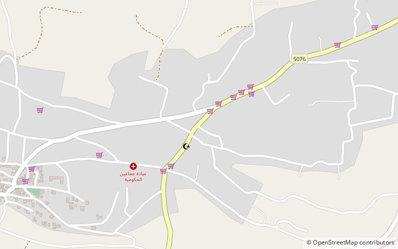
Map

Facts and practical information
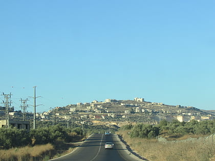
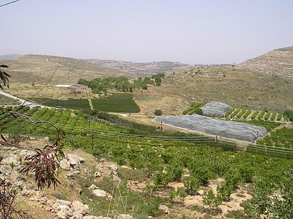
Jamma'in is a Palestinian town in the northern West Bank located 16 kilometers southwest of Nablus, 6 kilometers northwest of Salfit and 40 kilometers north of Ramallah. According to the Palestinian Central Bureau of Statistics, the town had a population of 6,227 in 2007. ()
Location
West Bank
ContactAdd
Social media
Add
Day trips
Jamma'in – popular in the area (distance from the attraction)
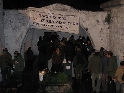
Nearby attractions include: Mount Gerizim, Jacob's Well, Shiloh, Joseph's Tomb.
