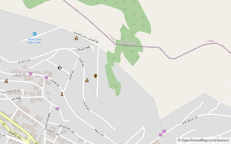
Balata al-Balad, Nablus
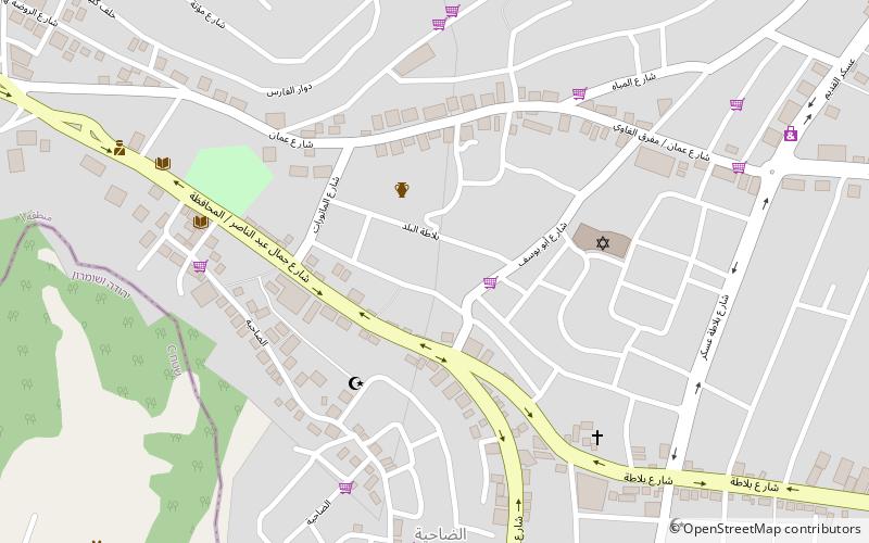
Map
Facts and practical information
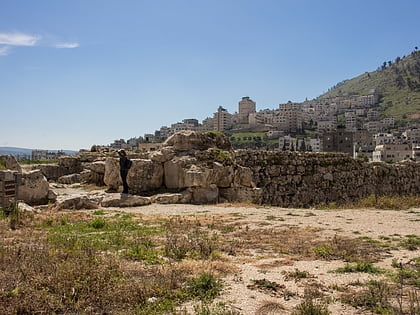
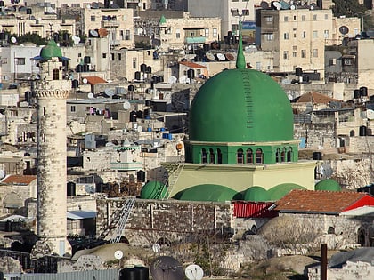
Balata al-Balad is a Palestinian suburb of Nablus, in the northern West Bank, located 1 kilometer east of the city center. Formerly its own village, it was annexed to the municipality of Nablus during Jordanian rule. ()
Address
Nablus
ContactAdd
Social media
Add
Day trips
Balata al-Balad – popular in the area (distance from the attraction)
Nearby attractions include: Mount Gerizim, Jacob's Well, Shechem, Joseph's Tomb.
Frequently Asked Questions (FAQ)
Which popular attractions are close to Balata al-Balad?
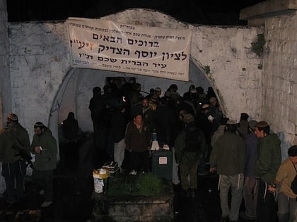
Nearby attractions include Joseph's Tomb, Nablus (2 min walk), Shechem, Nablus (3 min walk), Jacob's Well, Nablus (7 min walk), Al-Khadra Mosque, Nablus (17 min walk).
How to get to Balata al-Balad by public transport?
The nearest stations to Balata al-Balad:
Bus
Bus
- المجمع الشرقي (25 min walk)


