Kifl Haris

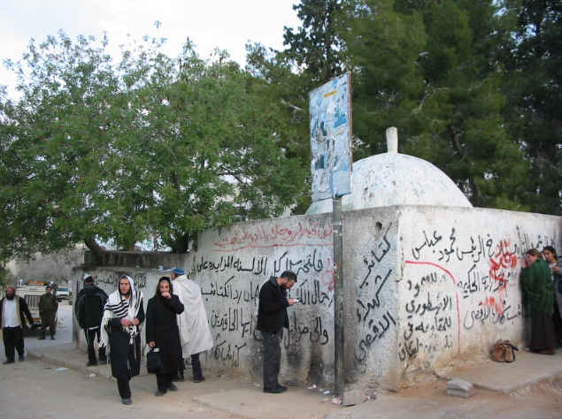
Gallery (2)
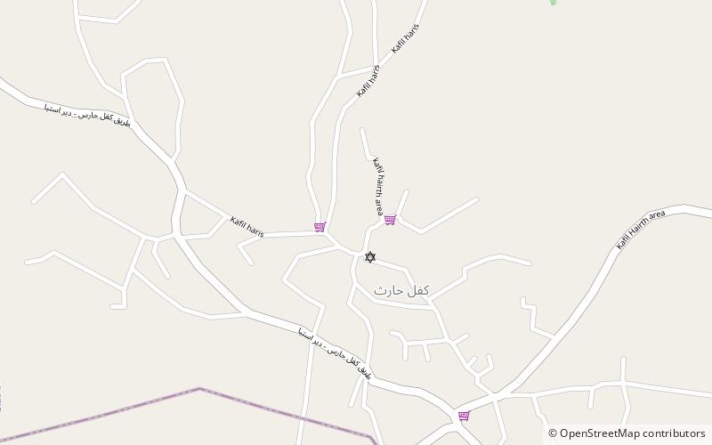
Map
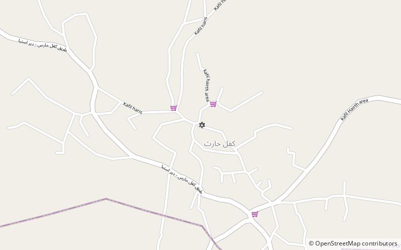
Map
Gallery
Facts and practical information
Kifl Haris is a Palestinian village in the northern West Bank, located six kilometers west of Salfit and 18 kilometers south of Nablus in the Salfit Governorate, northwest of the Israeli settlement city Ariel. ()
Location
West Bank
ContactAdd
Social media
Add
Day trips