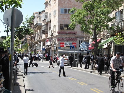
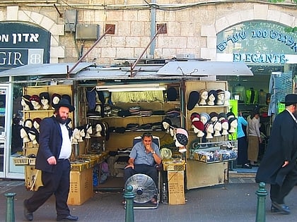
Bar-Ilan Street, Jerusalem
Map
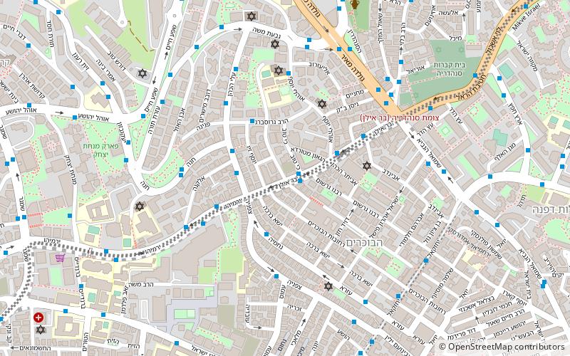
Map

Facts and practical information
Coordinates: 31°47'39"N, 35°12'59"E
Address
סנהדריה (snhdryh)Jerusalem
ContactAdd
Social media
Add
Day trips
Bar-Ilan Street – popular in the area (distance from the attraction)
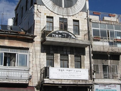
Nearby attractions include: Mahane Yehuda Market, Clal Center, Zoharei Chama Synagogue, Ticho House.
Frequently Asked Questions (FAQ)
Which popular attractions are close to Bar-Ilan Street?
Nearby attractions include Tel Arza, Jerusalem (3 min walk), Bukharan Quarter, Jerusalem (5 min walk), Shikun Chabad, Jerusalem (6 min walk), Shmuel HaNavi, Jerusalem (7 min walk).
How to get to Bar-Ilan Street by public transport?
The nearest stations to Bar-Ilan Street:
Bus
Train
Bus
- מסוף הר חוצבים (13 min walk)
- Jerusalem Central Bus Station (22 min walk)
Train
- Jerusalem - Yitzhak Navon (23 min walk)


