Bethmaus, Tiberias
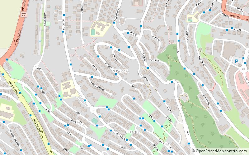
Map
Facts and practical information
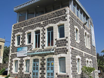
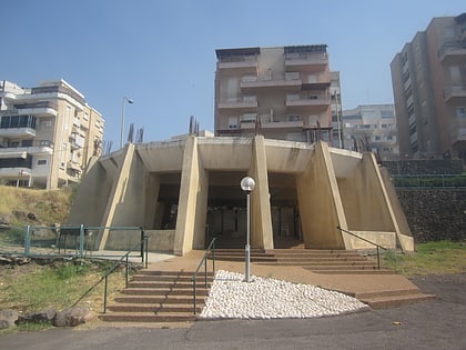
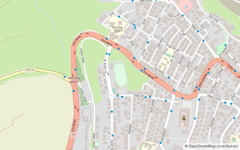
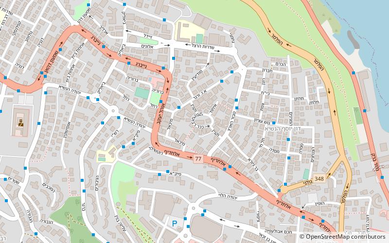
Bethmaus, or Beth Maʿon, was a Jewish village during the late Second Temple and Mishnaic periods, and which was already a ruin when Kitchener visited the site in 1877. It was situated upon the hill, directly north-west of the old city of Tiberias, at a distance of one biblical mile, rising to an elevation of 250 metres above sea-level. It is now incorporated within the modern city bounds of Upper Tiberias. ()
Coordinates: 32°47'40"N, 35°31'60"E
Address
Tiberias
ContactAdd
Social media
Add
Day trips
Bethmaus – popular in the area (distance from the attraction)
Nearby attractions include: Sea of Galilee, St. Peter's Church, Maimonides Heritage Center, Tomb of the Matriarchs.
Frequently Asked Questions (FAQ)
Which popular attractions are close to Bethmaus?
Nearby attractions include Maimonides Heritage Center, Tiberias (10 min walk), Sea of Galilee, Tiberias (13 min walk), Kinneret Subdistrict, Tiberias (16 min walk), St. Peter's Church, Tiberias (18 min walk).
How to get to Bethmaus by public transport?
The nearest stations to Bethmaus:
Bus
Bus
- Tiberias central bus station (14 min walk)


