Kinneret Subdistrict, Tiberias
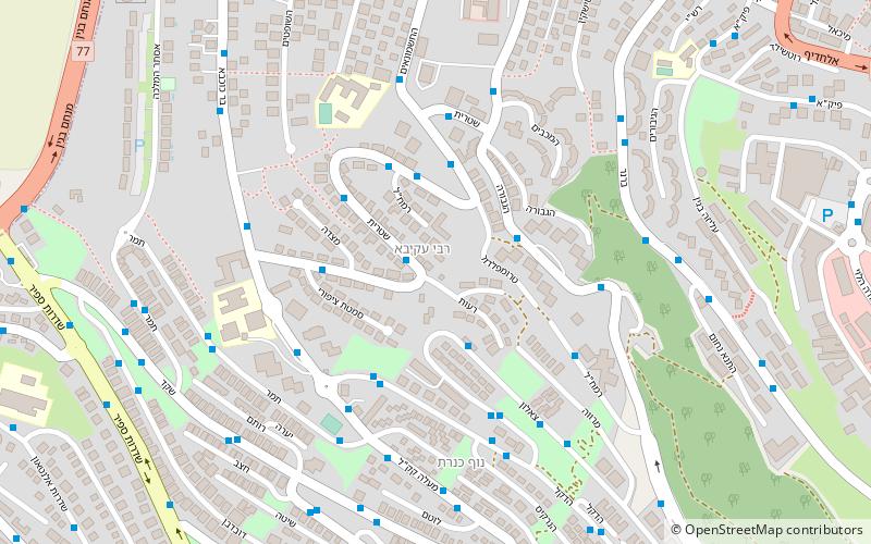
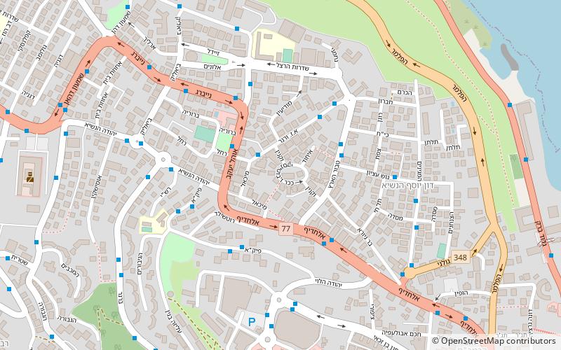
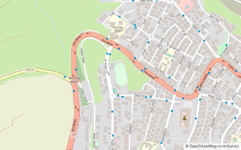
Map
Facts and practical information
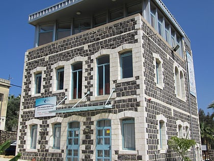
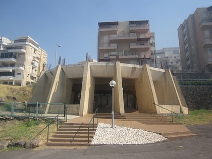
The Kinneret Subdistrict is one of the subdistricts of Israel's Northern District. The subdistrict is the successor of the historical Mandatory Tiberias Subdistrict, and thus is also known as Tiberas Subdistrict. The largest city and the centre of the subdistrict is the city of Tiberias on the western coast of the Sea of Galilee. ()
Area: 204.25 mi²Coordinates: 32°47'23"N, 35°31'29"E
Address
Tiberias
ContactAdd
Social media
Add
Day trips
Kinneret Subdistrict – popular in the area (distance from the attraction)
Nearby attractions include: Sea of Galilee, St. Peter's Church, Maimonides Heritage Center, Tomb of the Matriarchs.
Frequently Asked Questions (FAQ)
Which popular attractions are close to Kinneret Subdistrict?
Nearby attractions include Bethmaus, Tiberias (16 min walk), Maimonides Heritage Center, Tiberias (20 min walk), Sea of Galilee, Tiberias (22 min walk), Tomb of the Matriarchs, Tiberias (22 min walk).
How to get to Kinneret Subdistrict by public transport?
The nearest stations to Kinneret Subdistrict:
Bus
Bus
- Tiberias central bus station (19 min walk)


