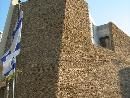
Bavli, Tel Aviv
Map
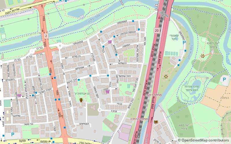
Map

Facts and practical information
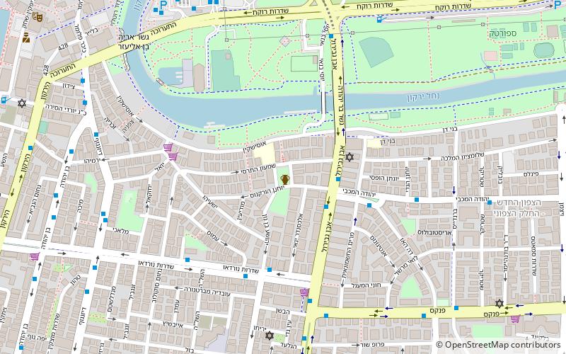
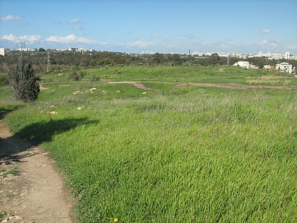
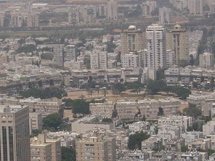
Bavli, or Shikun Bavli, is a neighborhood in central Tel Aviv, Israel, named after the Babylonian Talmud, and bounded by Hayarkon Park on the north, Ayalon highway to the east, Namir road to the west, and Park Tzameret to the south. ()
Address
בבלי (bbly)Tel Aviv
ContactAdd
Social media
Add
Day trips
Bavli – popular in the area (distance from the attraction)
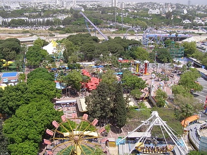
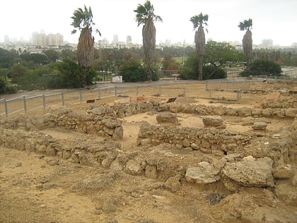
Nearby attractions include: Luna Park, Ramat Aviv Mall, Eretz Israel Museum, Tell Qasile.
Frequently Asked Questions (FAQ)
Which popular attractions are close to Bavli?
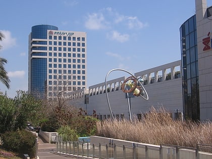
Nearby attractions include Giv'at Amal Bet, Tel Aviv (5 min walk), Tzameret Towers, Tel Aviv (12 min walk), Eretz Israel Museum, Tel Aviv (13 min walk), Tell Qasile, Tel Aviv (13 min walk).
How to get to Bavli by public transport?
The nearest stations to Bavli:
Train
Bus
Train
- Tel Aviv University (17 min walk)
- Tel Aviv Savidor Center (20 min walk)
Bus
- University Train Station Bus Terminus (19 min walk)
- namir jabotinstky (20 min walk)

