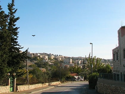
Kiryat Itri, Jerusalem
Map

Gallery

Facts and practical information
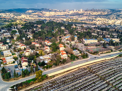
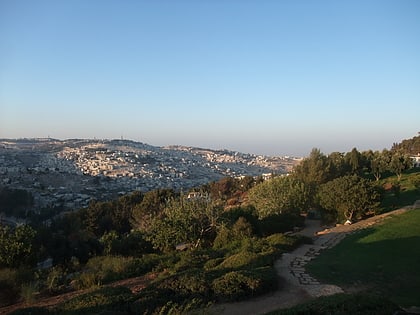
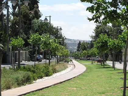
Kiryat Itri is a Haredi neighborhood in Jerusalem. It is located on the northern edge of the mountain plateau on which central Jerusalem lies. ()
Coordinates: 31°44'39"N, 35°12'39"E
Address
גבעת המטוס (gbt hmtws)Jerusalem
ContactAdd
Social media
Add
Day trips
Kiryat Itri – popular in the area (distance from the attraction)
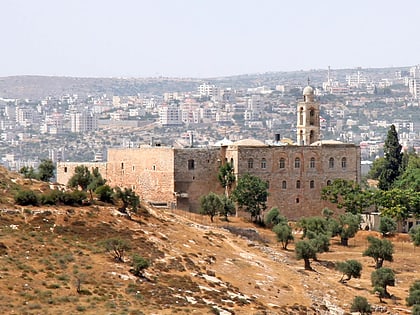
Nearby attractions include: Mar Elias Monastery, Gazelle Valley, Ramat Rachel, Peace Forest.
Frequently Asked Questions (FAQ)
Which popular attractions are close to Kiryat Itri?
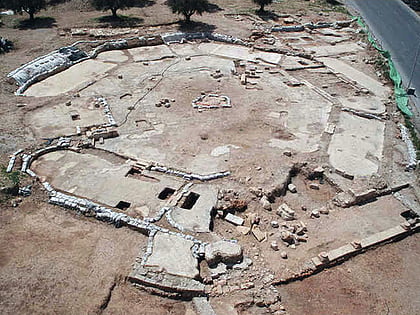
Nearby attractions include Beit Safafa, Jerusalem (7 min walk), Givat HaMatos, Jerusalem (10 min walk), Kathisma, Jerusalem (10 min walk), Talpiot, Jerusalem (14 min walk).
How to get to Kiryat Itri by public transport?
The nearest stations to Kiryat Itri:
Bus
Bus
- Hevron Road/HaOman • Lines: 231 (7 min walk)

