Tell el-Far'ah, Gaza Strip

Map
Facts and practical information
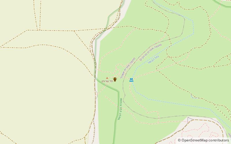
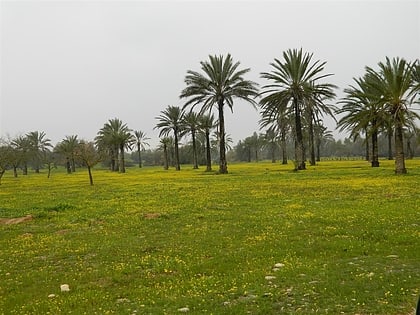
Tell el-Far'ah ^ is an archaeological site on the bank of HaBesor Stream in the northern Negev region, Israel. It is located between the modern settlements of Ein HaBesor and Urim, some 12 kilometres from the modern city of Ofakim and 20 kilometres from Gaza. It was first excavated by Flinders Petrie in 1928–1929. Petrie wrongly identified the site with Beit Pelet in the territory of the Tribe of Judah. William F. Albright identified the site with Sharuhen, which appears in Egyptian and Biblical sources. Some scholars dispute this identification. ()
Coordinates: 31°16'57"N, 34°28'58"E
Address
Gaza Strip
ContactAdd
Social media
Add
Day trips
Tell el-Far'ah – popular in the area (distance from the attraction)
Nearby attractions include: Eshkol National Park, Maon Synagogue.

