Sheikh Bureik
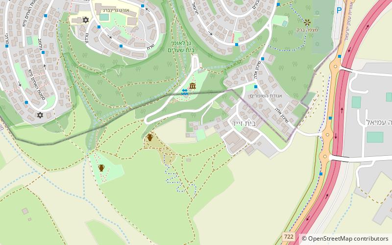
Map
Gallery
Facts and practical information
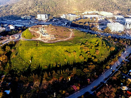
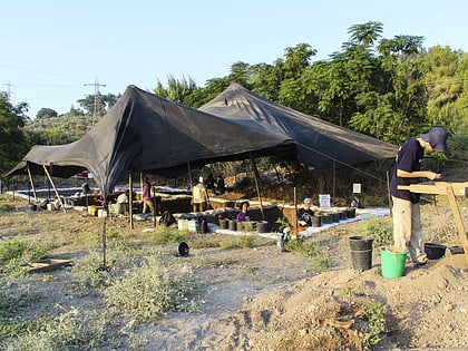
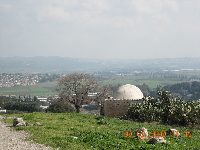
Sheikh Bureik, locally called Sheikh Abreik or Sheikh Ibreik in recent times, was a Palestinian Arab village located 10 miles southeast of Haifa. Situated at an ancient site that shows evidence of habitation as early as the Iron Age, it was known as Beit She'arayim in the Roman and Byzantine periods and became an important center of Jewish learning in the 2nd century, with habitation continuing during the Early Islamic period and limited signs of activity from the Crusader period. ()
Local name: שייח' אבריקCoordinates: 32°42'8"N, 35°7'45"E
Location
HaZafon
ContactAdd
Social media
Add
Day trips
Sheikh Bureik – popular in the area (distance from the attraction)
Nearby attractions include: Tel Yokneam, Shimron, Yokneam Illit, Nesher.

