Beit She'arim necropolis
Map
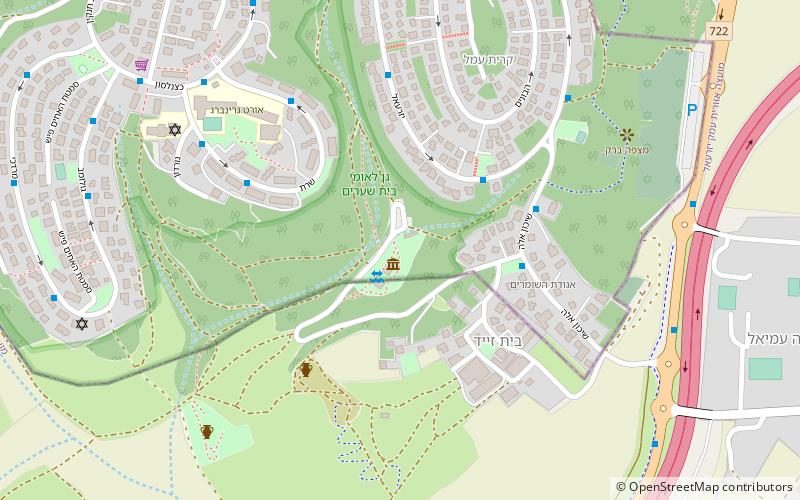
Map

Facts and practical information
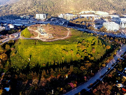
Beit She'arim is the currently used name for the ancient Jewish town of Bet She'arāyim or Kfar She'arāyim, made popular by its necropolis, now known as Beit She'arim National Park. The site, located on a hill, was known initially by its Arabic name Sheikh Ibreik or Sheikh Abreik, purchased by the Jewish National Fund, and which historical geographer Samuel Klein in 1936 identified as Talmudic Beit She'arim. ()
Alternative names: Unesco: from 2015Area: 158.89 acres (0.2483 mi²)Coordinates: 32°42'14"N, 35°7'45"E
Location
HaZafon
ContactAdd
Social media
Add
Day trips
Beit She'arim necropolis – popular in the area (distance from the attraction)
Nearby attractions include: Tel Yokneam, Shimron, Yokneam Illit, Nesher.

