Papal apartments, Rome
Map
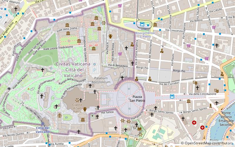
Map

Facts and practical information
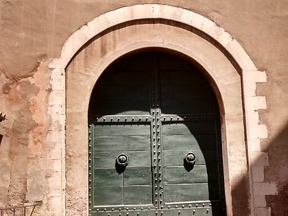
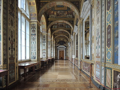
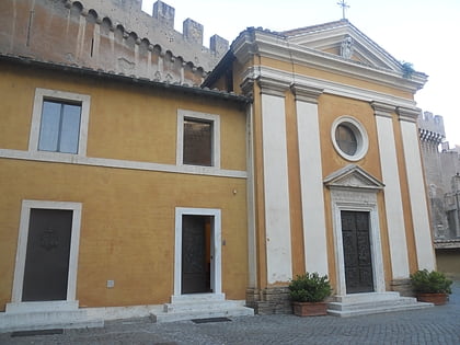
The Papal Apartments is the non-official designation for the collection of apartments, which are private, state, and religious, that wrap around a courtyard on two sides of the third floor of the Apostolic Palace in Vatican City. ()
Address
Stato della Città del VaticanoRome
ContactAdd
Social media
Add
Day trips
Papal apartments – popular in the area (distance from the attraction)
Nearby attractions include: St. Peter's Square, Vatican Museums, Borgia Apartments, Apostolic Palace.
Frequently Asked Questions (FAQ)
Which popular attractions are close to Papal apartments?
Nearby attractions include Vatican Pharmacy, Rome (1 min walk), Saints Martin and Sebastian of the Swiss, Rome (1 min walk), Sala del Concistoro, Rome (1 min walk), Porta San Pellegrino, Rome (2 min walk).
How to get to Papal apartments by public transport?
The nearest stations to Papal apartments:
Bus
Tram
Train
Metro
Ferry
Light rail
Bus
- Risorgimento/Porta Angelica • Lines: 23, 982, n11 (5 min walk)
- Risorgimento • Lines: 32, 590, 81 (6 min walk)
Tram
- Risorgimento/S. Pietro • Lines: 19 (6 min walk)
- Ottaviano • Lines: 19 (12 min walk)
Train
- Vatican City (9 min walk)
- Roma San Pietro (14 min walk)
Metro
- Ottaviano • Lines: A (11 min walk)
- Cipro • Lines: A (14 min walk)
Ferry
- Sant'Angelo • Lines: Battelli di Roma (16 min walk)
- Ponte Cavour (24 min walk)
Light rail
- Flaminio • Lines: Fc3 (32 min walk)

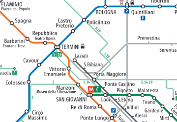 Metro / Tram / Rail


