Holy See, Rome
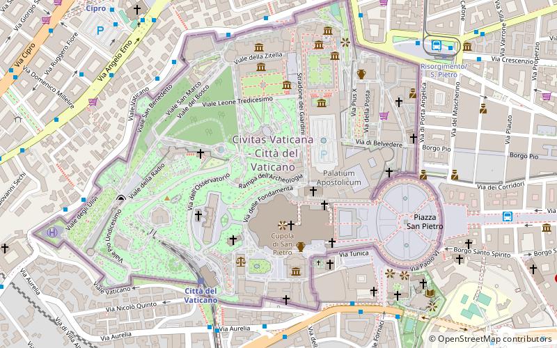
Map
Facts and practical information
The Holy See, also called the See of Rome, Petrine See or Apostolic See, is the jurisdiction of the Pope in his role as the bishop of Rome. It includes the apostolic episcopal see of the Diocese of Rome, which has universal ecclesiastical jurisdiction over the Catholic Church and the sovereign city-state known as Vatican City. ()
Getting there by public transportation
Public transportation stops near this location
- Metro
- Bus
- Tram
- Train
- Ferry
 Metro
Metro
- Calculate routeVatican City 6 min walk
- Calculate routeRoma San Pietro 13 min walk
- Calculate routeValle Aurelia 15 min walk
- Calculate routeAppiano 25 min walk
- Calculate routeV.le Vaticano/Musei Vaticani 7 min walk
- Calculate routeAurelia/Bonifacio VIII 7 min walk
- Calculate routeCavalleggeri/S. Pietro 7 min walk
- Calculate routeRisorgimento/S. Pietro 9 min walk
- Calculate routeOttaviano 13 min walk
- Calculate routeMilizie/Distretto Militare 19 min walk
- Calculate routeCipro 11 min walk
- Calculate routeOttaviano 13 min walk
- Calculate routeValle Aurelia 16 min walk
- Calculate routeLepanto 22 min walk
- Calculate routeSant'Angelo 20 min walk
- Calculate routePonte Cavour 28 min walk
- Calculate routeIsola Tiberina 38 min walk
Maps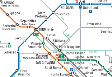 Metro / Tram / Rail
Metro / Tram / RailDay trips


Frequently Asked Questions (FAQ)
Which popular attractions are close to Holy See?
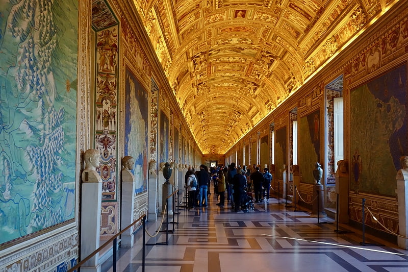
Nearby attractions include Vatican City, Rome (2 min walk), Sistine Chapel ceiling, Rome (2 min walk), Sistine Chapel, Rome (2 min walk), St. Peter's Basilica, Rome (2 min walk).
How to get to Holy See by public transport?
The nearest stations to Holy See:
Train
Bus
Tram
Metro
Ferry
Train
- Vatican City (6 min walk)
- Roma San Pietro (13 min walk)
Bus
- V.le Vaticano/Musei Vaticani • Lines: 49 (7 min walk)
- Aurelia/Bonifacio VIII • Lines: 34, 46, n5 (7 min walk)
Tram
- Risorgimento/S. Pietro • Lines: 19 (9 min walk)
- Ottaviano • Lines: 19 (13 min walk)
Metro
- Cipro • Lines: A (11 min walk)
- Ottaviano • Lines: A (13 min walk)
Ferry
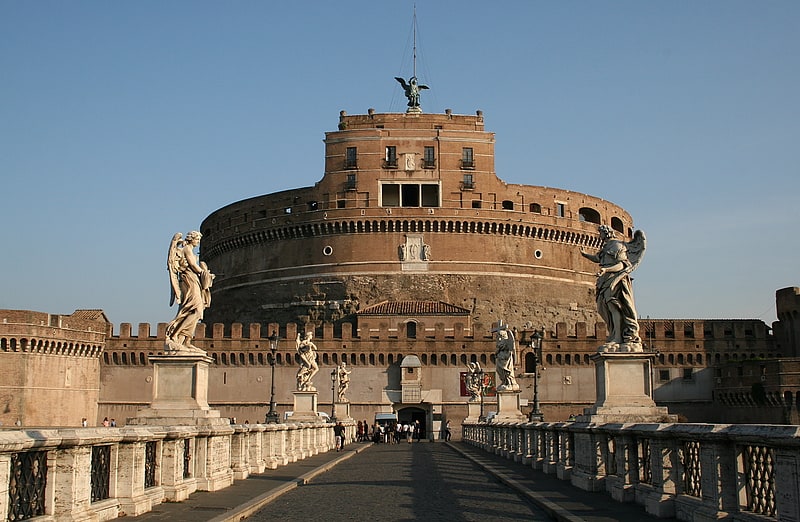
- Sant'Angelo • Lines: Battelli di Roma (20 min walk)
- Ponte Cavour (28 min walk)