The Gallery of Maps, Rome
Map
Gallery
Facts and practical information
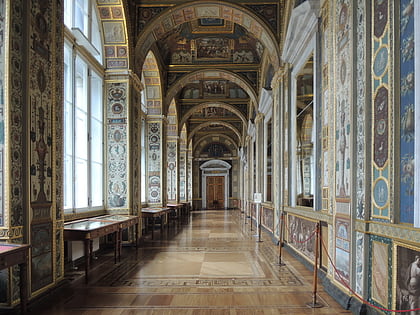
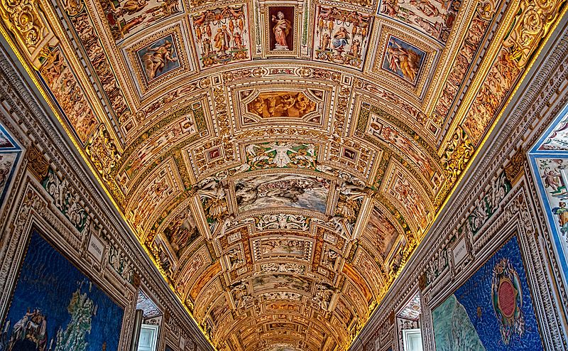
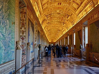
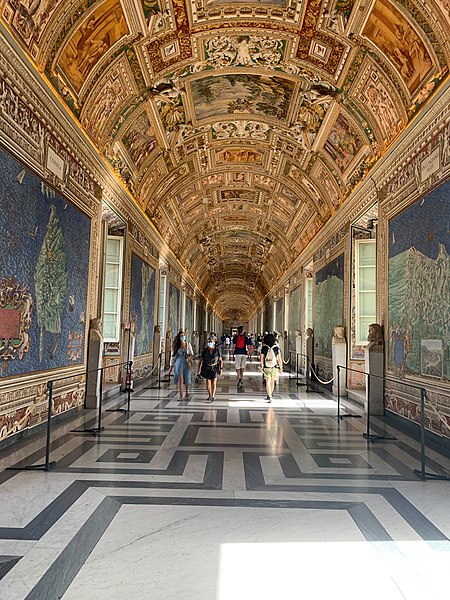
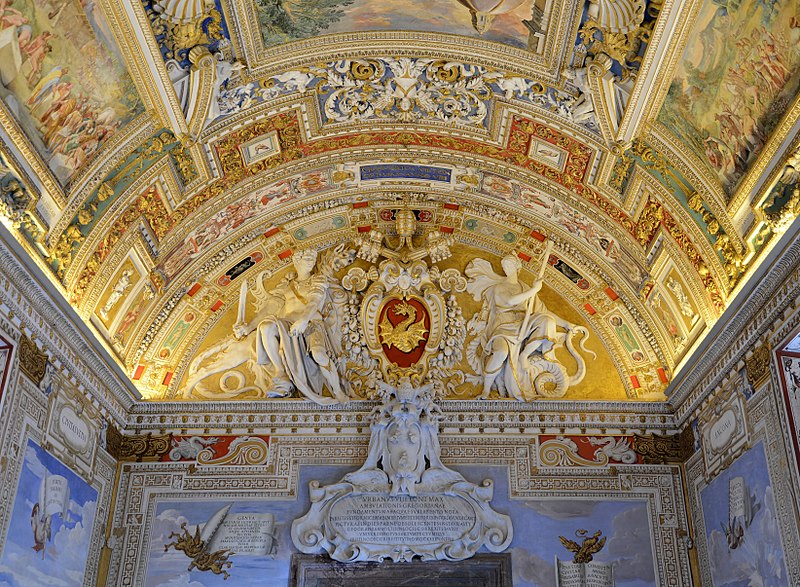
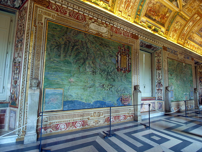
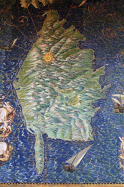
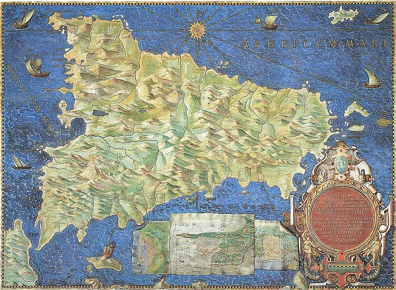
The Gallery of Maps is a gallery located on the west side of the Belvedere Courtyard in the Vatican containing a series of painted topographical maps of Italy based on drawings by friar and geographer Ignazio Danti. ()
Day trips
The Gallery of Maps – popular in the area (distance from the attraction)
Nearby attractions include: Vatican Museums, Borgia Apartments, St. Peter's Basilica, Apostolic Palace.
Frequently Asked Questions (FAQ)
Which popular attractions are close to The Gallery of Maps?
Nearby attractions include Vatican Library, Rome (1 min walk), Vatican Museums, Rome (2 min walk), Sala del Concistoro, Rome (2 min walk), Gregorian Tower, Rome (2 min walk).
How to get to The Gallery of Maps by public transport?
The nearest stations to The Gallery of Maps:
Bus
Tram
Train
Metro
Ferry
Light rail
Bus
- Bastioni di Michelangelo • Lines: 23, 492 (6 min walk)
- V.le Vaticano/Musei Vaticani • Lines: 49 (6 min walk)
Tram
- Risorgimento/S. Pietro • Lines: 19 (6 min walk)
- Ottaviano • Lines: 19 (11 min walk)
Train
- Vatican City (8 min walk)
- Roma San Pietro (15 min walk)
Metro
- Ottaviano • Lines: A (11 min walk)
- Cipro • Lines: A (11 min walk)
Ferry
- Sant'Angelo • Lines: Battelli di Roma (19 min walk)
- Ponte Cavour (26 min walk)
Light rail
- Flaminio • Lines: Fc3 (33 min walk)


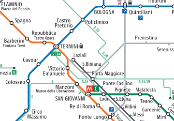 Metro / Tram / Rail


