Waves Beach, Kingston
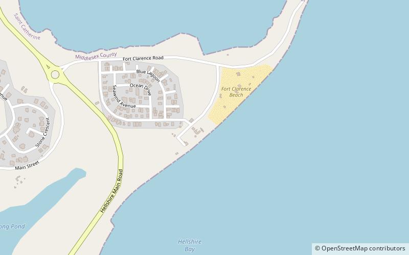
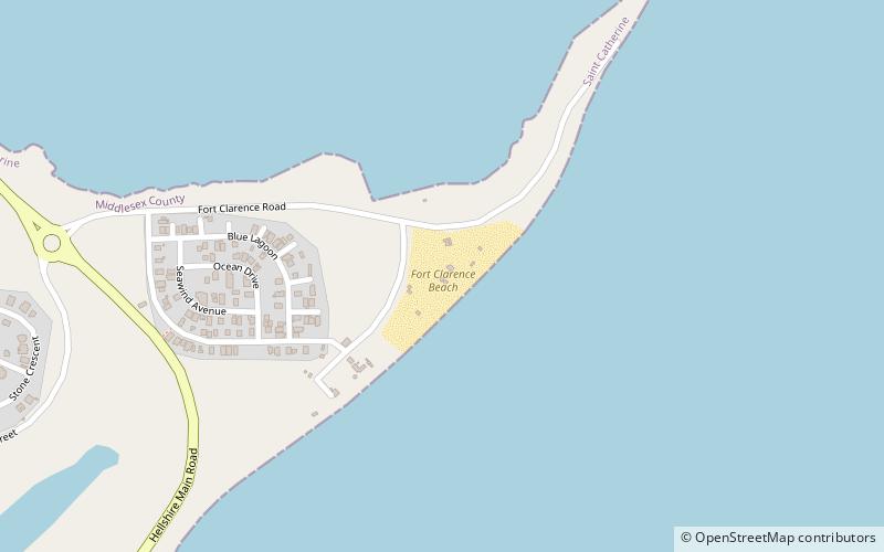
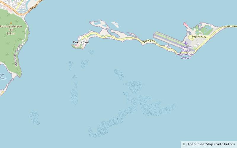
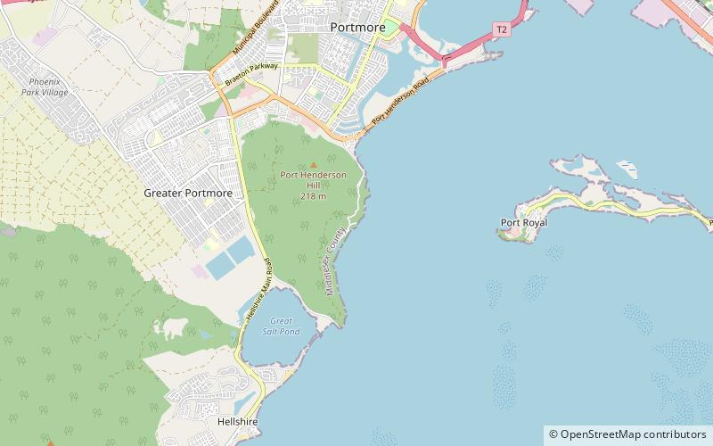
Map
Facts and practical information
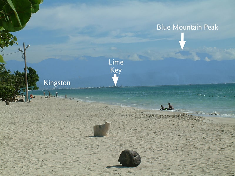
Waves Beach (address: 190 Seafort) is a place located in Kingston (Saint Catherine parish) and belongs to the category of beach, seafood, beach bar.
It is situated at an altitude of 30 feet, and its geographical coordinates are 17°54'24"N latitude and 76°53'19"W longitude.
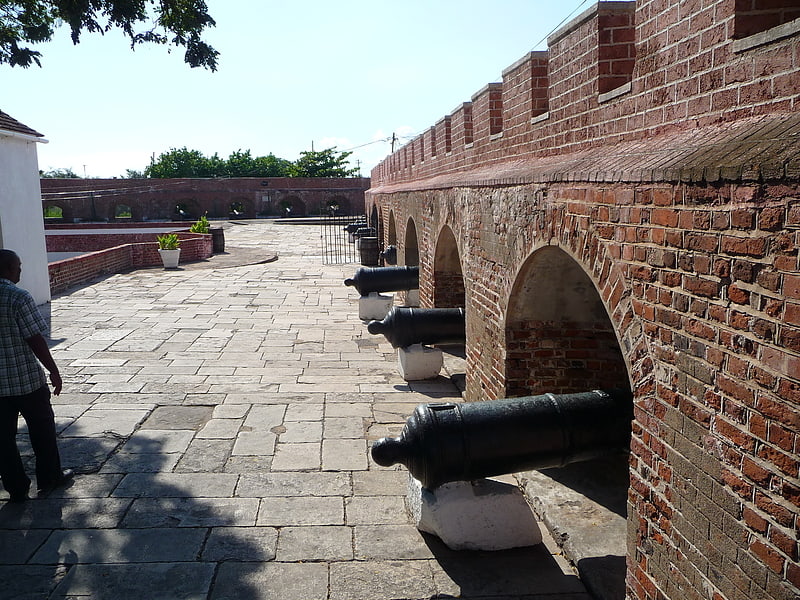
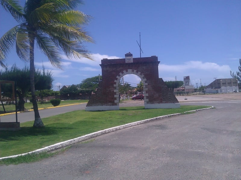
Among other places and attractions worth visiting in the area are: Fort Clarence Beach (beach, 4 min walk), Hellshire Beach (beach, 20 min walk), Sugar Man Beach (beach, 22 min walk).
Coordinates: 17°54'24"N, 76°53'19"W
Day trips


Frequently Asked Questions (FAQ)
When is Waves Beach open?
Waves Beach is open:
- Monday 12 pm - 8 pm
- Tuesday 12 pm - 8 pm
- Wednesday 12 pm - 8 pm
- Thursday 12 pm - 8 pm
- Friday 12 pm - 8 pm
- Saturday 10 am - 10 pm
- Sunday 10 am - 10 pm
Which popular attractions are close to Waves Beach?
Nearby attractions include Fort Clarence Beach, Kingston (4 min walk), Hellshire Beach, Kingston (20 min walk), Sugar Man Beach, Kingston (22 min walk).