Folly Lighthouse, Port Antonio

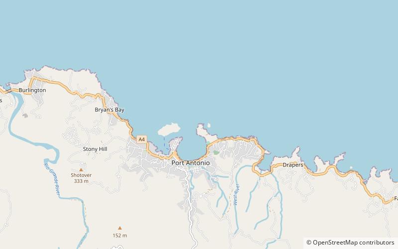
Map
Facts and practical information
Built in 1888, Folly Lighthouse is a brick tower with lantern and gallery. It flashes a white light every 10 seconds that is visible for 13 miles. The light is solar powered. A garden surrounds the lighthouse. ()
Coordinates: 18°11'20"N, 76°26'35"W
Address
Port Antonio
ContactAdd
Social media
Add
Day trips
Folly Lighthouse – popular in the area (distance from the attraction)
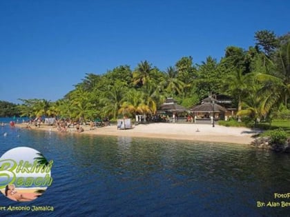
Nearby attractions include: Bikini Beach Jamaica, Winifred Beach.

