Mount Maru, Daisetsuzan National Park

Map
Facts and practical information
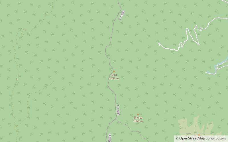
Mount Maru is a lava dome located in the Nipesotsu-Maruyama Volcanic Group of the Ishikari Mountains, Hokkaidō, Japan. Mount Maru is also known as Higashi-Tokachi-Maruyama or Higashi-Taisetsu-Maruyama to distinguish it from other mountains with the same name. Only in 1989 did scientists discover that Mount Maru is a quaternary volcano. The mountain sits on the border between the towns of Kamishihoro and Shintoku. ()
Local name: 丸山 Last eruption: 1898Elevation: 5552 ftProminence: 1381 ftCoordinates: 43°25'3"N, 143°1'52"E
Address
Daisetsuzan National Park
ContactAdd
Social media
Add
Day trips
Mount Maru – popular in the area (distance from the attraction)
Nearby attractions include: Mount Nipesotsu, Mount Upepesanke, Nipesotsu-Maruyama Volcanic Group, Hokkaido proportional representation block.


