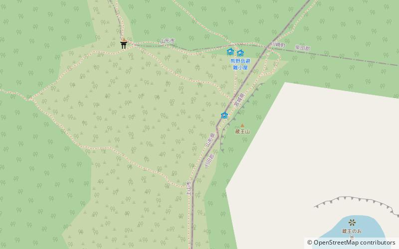
Mount Zaō, Zaō Quasi-National Park

Gallery (2)
Map
Map
Gallery
Facts and practical information
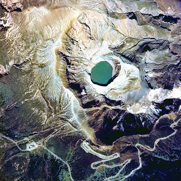
The Zaō Mountains, commonly called Mount Zaō, are a complex cluster of stratovolcanoes on the border between Yamagata Prefecture and Miyagi Prefecture in Japan. The central volcano of the group includes several lava domes and a tuff cone, Goshiki-dake, which contains a crater lake named "Okama". Also known as the "Five Color Pond" because it changes color depending on the weather, it lies in a crater formed by a volcanic eruption in the 1720s. The lake is 360 metres in diameter and 60 m deep, and is one of the main tourist attractions in the area. ()
Address
Zaō Quasi-National Park
ContactAdd
Social media
Add
Day trips


