Heisei Ozeki Dam, Nakatsu
Map

Map

Facts and practical information
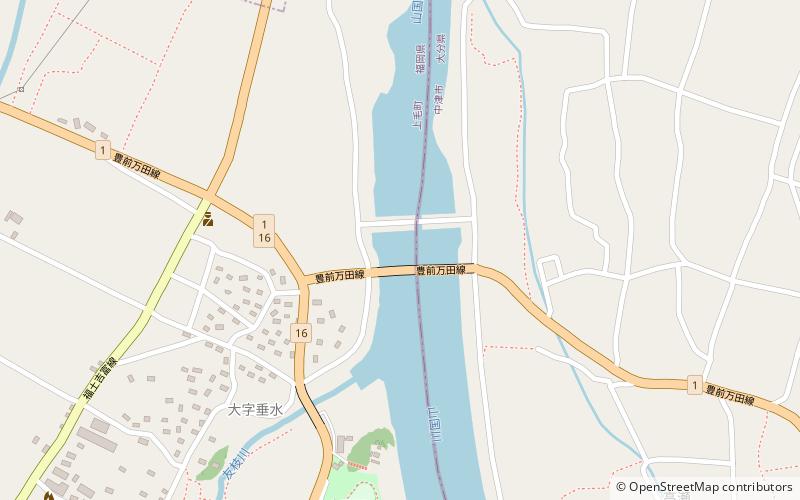
Heisei Ozeki Dam is a dam on the Yamakuni River between Kōge, Fukuoka Prefecture and Nakatsu, Ōita Prefecture in Japan. ()
Local name: 平成大堰 Opened: 1990 (36 years ago)Length: 682 ftHeight: 10 ftReservoir area: 37.07 acres (0.0579 mi²)Coordinates: 33°34'60"N, 131°10'19"E
Address
Nakatsu
ContactAdd
Social media
Add
Day trips
Heisei Ozeki Dam – popular in the area (distance from the attraction)
Nearby attractions include: Nakatsu Castle, Yoshitomi.


