Mount Kunimi, Murō-Akame-Aoyama Quasi-National Park
Map
Facts and practical information
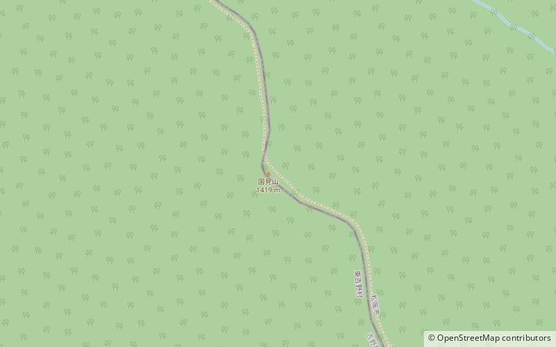
Mount Kunimi is a 1,418.7 m tall mountain of the Daikō Mountains. It is located on the border of Higashiyoshino, Nara, and Matsusaka, Mie, Japan ()
Elevation: 4655 ftCoordinates: 34°22'33"N, 136°5'13"E
Address
Murō-Akame-Aoyama Quasi-National Park
ContactAdd
Social media
Add
Day trips


