Lake Towada, Towada-Hachimantai National Park
Map

Gallery

Facts and practical information
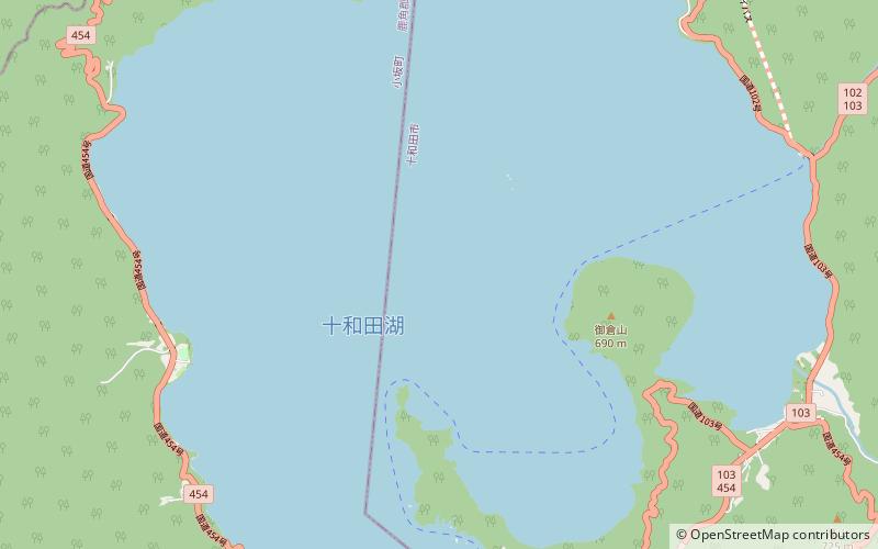
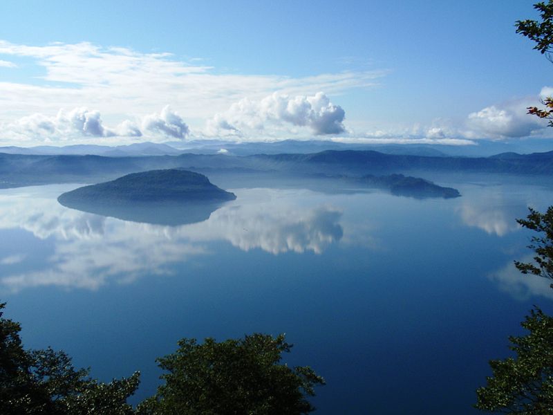
Lake Towada is the largest crater lake in Honshū island, Japan. Located on the border between Aomori and Akita prefectures, it lies 400 meters above sea level and is 327 m deep, drained by the Oirase river. With a surface area of 61.1 km², Towada is Japan's 12th largest lake, its bright blue color is due to its great depth. The lake is roughly circular, with two peninsulas extending from its southern shore approximately one-third into the center of the lake. The lake is a popular tourist destination. ()
Local name: 十和田湖 Area: 23.17 mi²Maximum depth: 1073 ftElevation: 1322 ft a.s.l.Coordinates: 40°27'52"N, 140°52'59"E
Address
Towada-Hachimantai National Park
ContactAdd
Social media
Add
Day trips
Lake Towada – popular in the area (distance from the attraction)
Nearby attractions include: Kazuno District.

