Shiretoko Peninsula, Shiretoko National Park
Map
Gallery
Facts and practical information
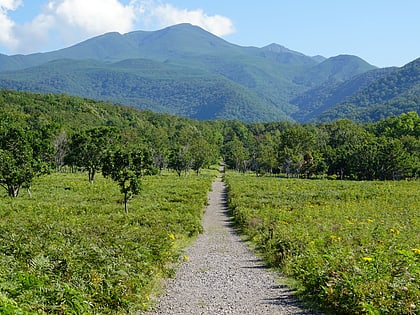
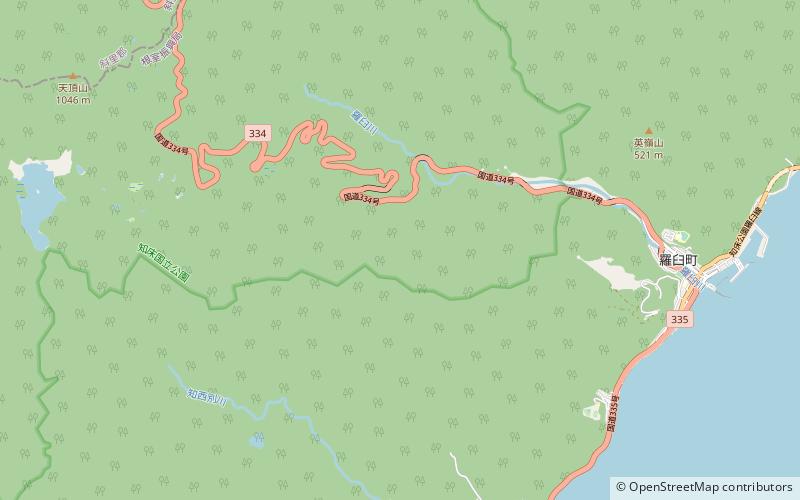
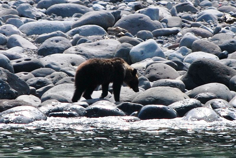
Shiretoko Peninsula is located on the easternmost portion of the Japanese island of Hokkaidō, protruding into the Sea of Okhotsk. It is separated from Kunashir Island, which is now occupied by Russia, by the Nemuro Strait. The name Shiretoko is derived from the Ainu word sir etok, meaning "the end of the Earth" or "the place where the Earth protrudes". The towns of Rausu and Shari are found on the peninsula. ()
Local name: 知床半島 Unesco: from 2005Area: 474.9 mi²Elevation: 5449 ftCoordinates: 44°2'60"N, 145°6'0"E
Address
Shiretoko National Park
ContactAdd
Social media
Add
Day trips
Shiretoko Peninsula – popular in the area (distance from the attraction)
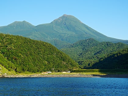
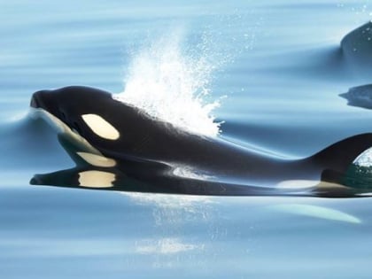
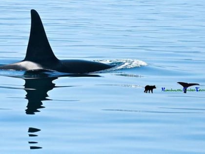
Nearby attractions include: Mount Rausu, Shiretoko nature Cruise, Gojira yan guan guang kujira irukau otchingukuruzu Gojiraiwa sightseeing Whale Watching, Mount Onnebetsu.
