Doyo Dam, Daisen-Oki National Park
Map

Map

Facts and practical information
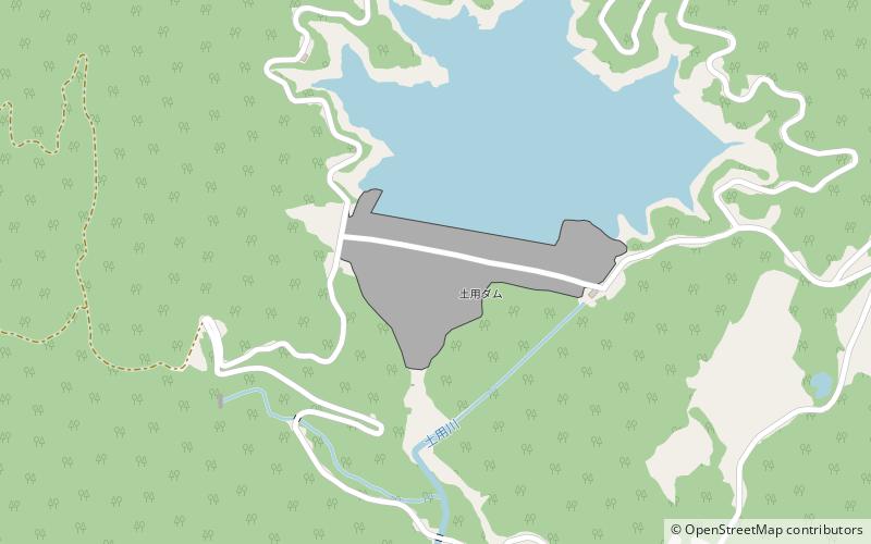
Doyo Dam is a rock-fill embankment dam located 6 km north of Shinjō in the Okayama Prefecture, Japan. It creates the upper reservoir for the 1,500 MW Matanoagawa Pumped Storage Power Station while the Matanoagawa Dam creates the lower. ()
Local name: 土用ダム Opened: 1986 (40 years ago)Length: 1575 ftHeight: 284 ftReservoir area: 74.13 acres (0.1158 mi²)Coordinates: 35°13'53"N, 133°32'42"E
Address
Daisen-Oki National Park
ContactAdd
Social media
Add
Day trips
Doyo Dam – popular in the area (distance from the attraction)
Nearby attractions include: Kamochi Shrine, Mount Hōbutsu, Matanoagawa Dam, Maniwa District.


