Cape Tappi, Tsugaru Quasi-National Park
Map

Map

Facts and practical information
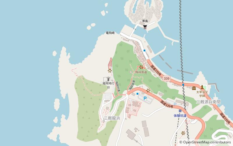
Cape Tappi is a headland on the northwestern point of the island of Honshu in Japan. The name is believed to be derived from tampa which means "sword's edge" in the Ainu language. It is located on the northern tip of the Tsugaru Peninsula within the borders of the town of Sotogahama in Aomori Prefecture. Much of the cape is also a part of the Tsugaru Quasi-National Park. The cape marks the western limit of the Tsugaru Strait, separating it from the Sea of Japan. The area is known for its almost constant strong winds. ()
Day trips
Cape Tappi – popular in the area (distance from the attraction)
Nearby attractions include: Long fei qi deng tai, Long feiu indopaku zhan shi guan.
Frequently Asked Questions (FAQ)
Which popular attractions are close to Cape Tappi?
Nearby attractions include Long fei qi deng tai, Tsugaru Quasi-National Park (2 min walk), Long feiu indopaku zhan shi guan, Tsugaru Quasi-National Park (10 min walk).


