Lake Tōya, Shikotsu-Toya National Park
Map

Gallery

Facts and practical information
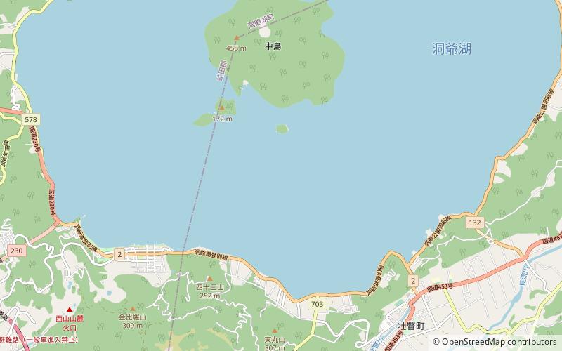
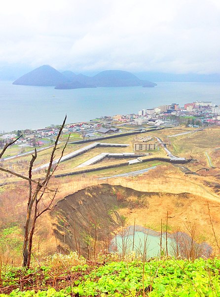
Lake Tōya is a volcanic caldera lake in Shikotsu-Toya National Park, Abuta District, Hokkaidō, Japan. It is part of "Toya Caldera and Usu Volcano Global Geopark" which joins in Global Geoparks Network. The stratovolcano of Mount Usu lies on the southern rim of the caldera. The lake is nearly circular, being 10 kilometers in diameter from east–west and 9 kilometers from north–south. The town of Tōyako comprises most of the area surrounding the lake and the town of Sōbetsu is located on the eastern side. ()
Local name: 洞爺湖 Area: 27.31 mi²Length: 6.21 miWidth: 5.59 miMaximum depth: 591 ftElevation: 262 ft a.s.l.Coordinates: 42°34'44"N, 140°51'14"E
Address
Shikotsu-Toya National Park
ContactAdd
Social media
Add
Day trips
Lake Tōya – popular in the area (distance from the attraction)
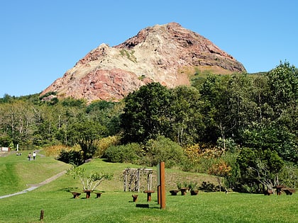
Nearby attractions include: Shōwa-shinzan, Mount Usu, Usuzan Ropeway, Toyako.


